Jan 29 and 30, 2024: Manapouri -> Doubtful Sound -> DOC Cascade Campsite on Milford Rd
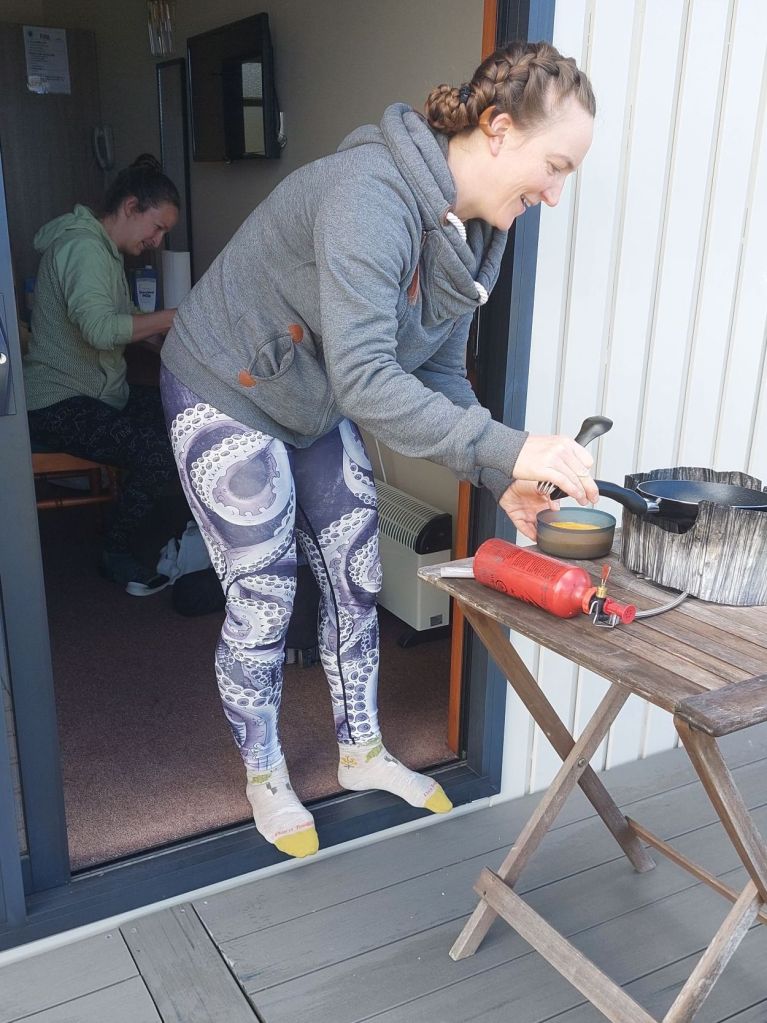
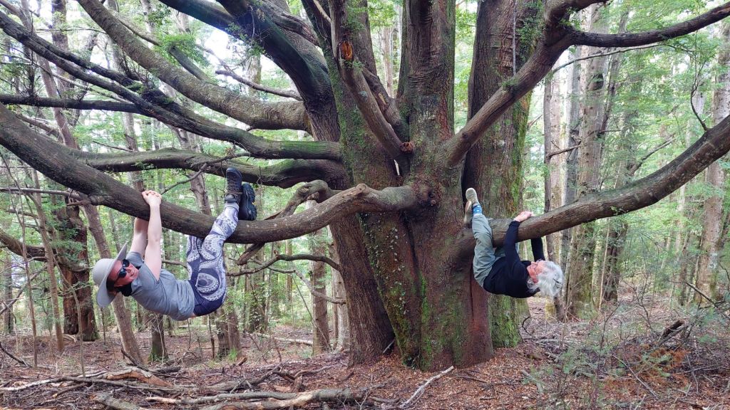
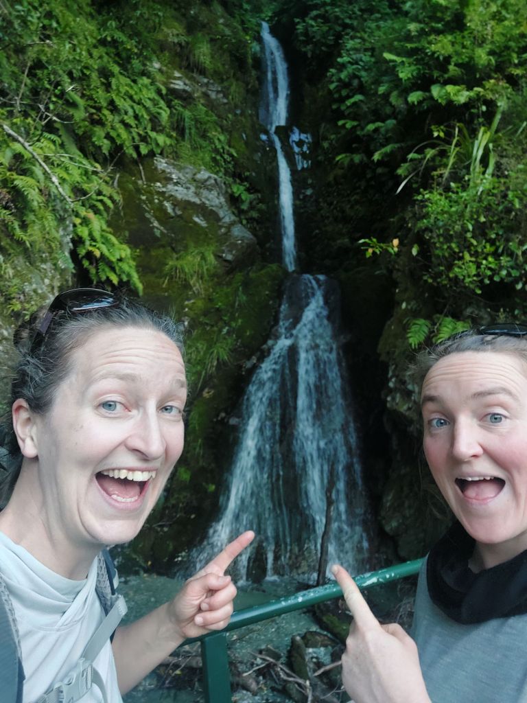
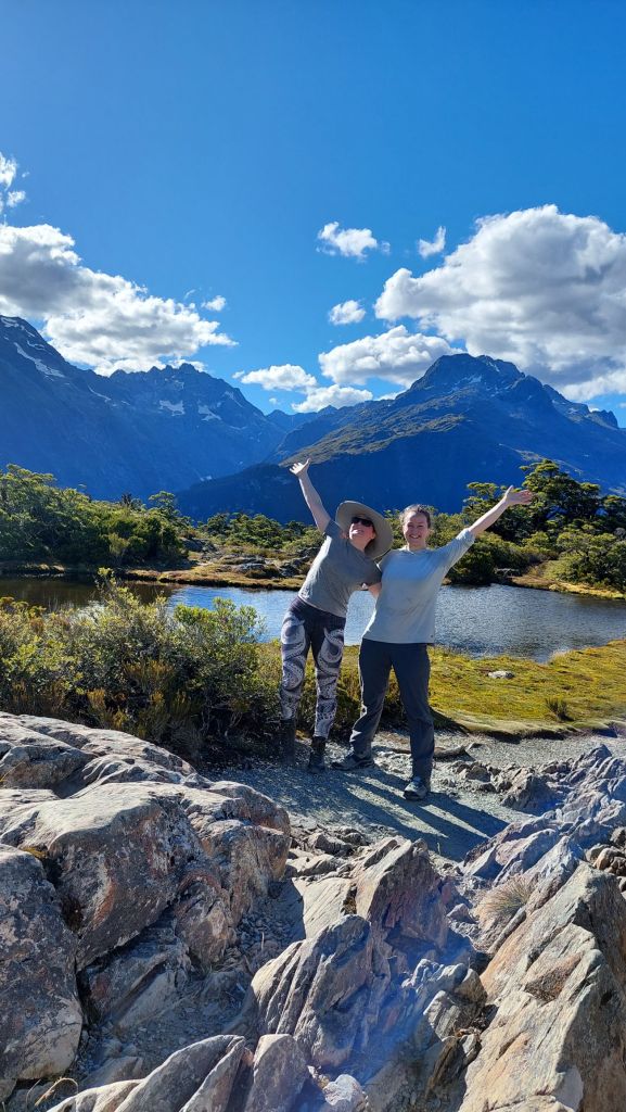
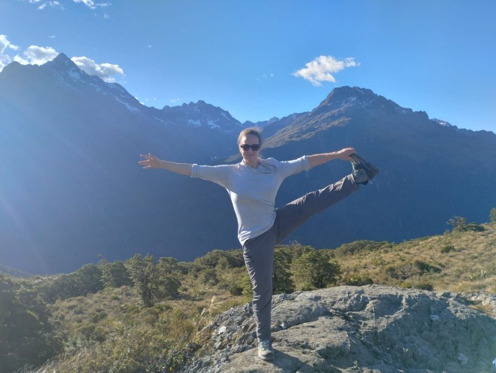
After checking in, we went for a walk along the Lake Manapouri shoreline. We found many new ferns, and more of Alice’s exercise regimes.
Mum and I were introduced to “Thunder Only Happens When It’s Raining”. For details, see YouTube. (You can also try asking Felicity for a demonstration.)
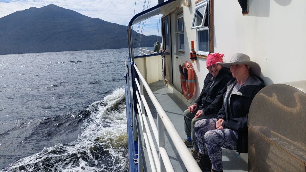
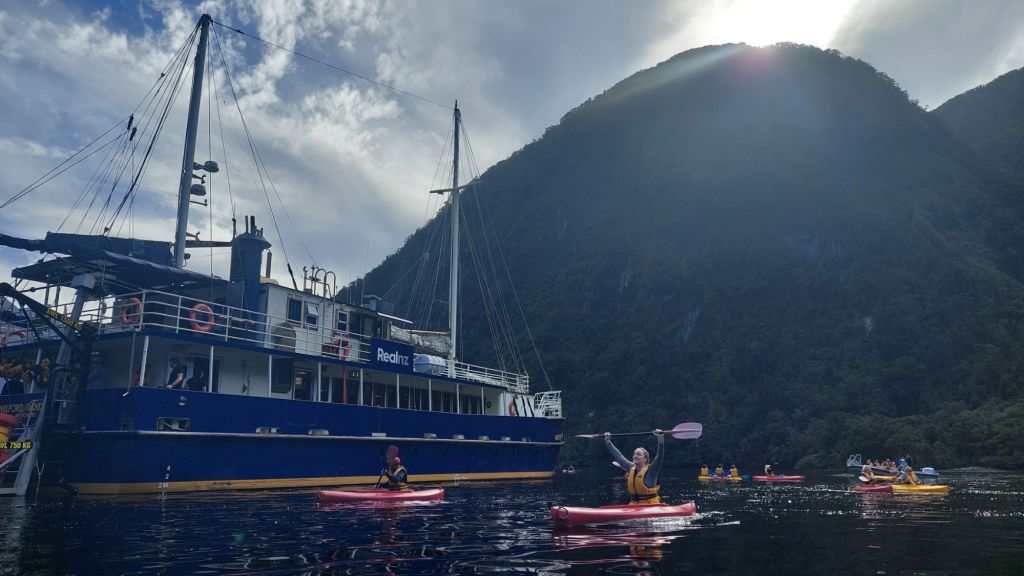
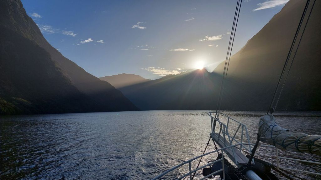
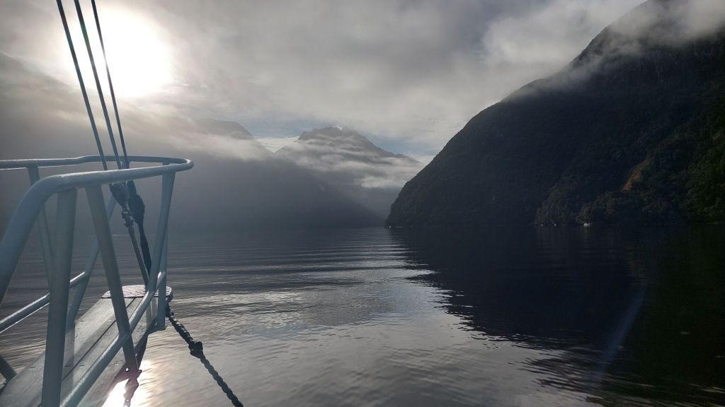
I mentioned earlier that our overnight cruise vessel, the Navigator, had “a personal encounter with New Zealand” earlier this week. The guests were evacuated and there have been multiple investigations, and only on the day of our departure was the Navigator declared fit for service again. Although bad for others, this was great for us, as they rebooked us on their smaller sister boat, Wanderer (which had been our first choice when booking, but we were not allowed to without paying for a 4th person).
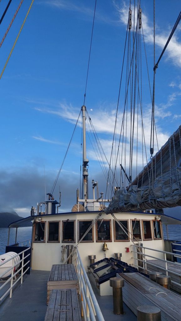
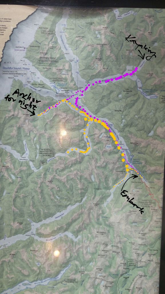
The first leg was a boat across Lake Manapouri, and then a bus ride along a 21km section of road that is only there because of the Manapouri power station.
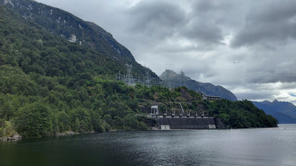
It takes water from Lake Manapouri and Lake Te Anu and drops it 178m down to sea level in Doubtful Sound via tunnels in the mostly granite rock. The power station was originally started in connection with an aluminum smelting company and was going to raise the lake levels 30m, but 264,907 people (more than 10% of Kiwis at that time!) signed a petition objecting to this because of the impact on the surrounding environment. Since then, new legislation (in addition to the Parks Act which had been broken by the original plan) has been enacted to protect these lakes.
We learned a lot of fun facts:
The road was very expensive to build (est. 50-60$/cm in today’s dollars).
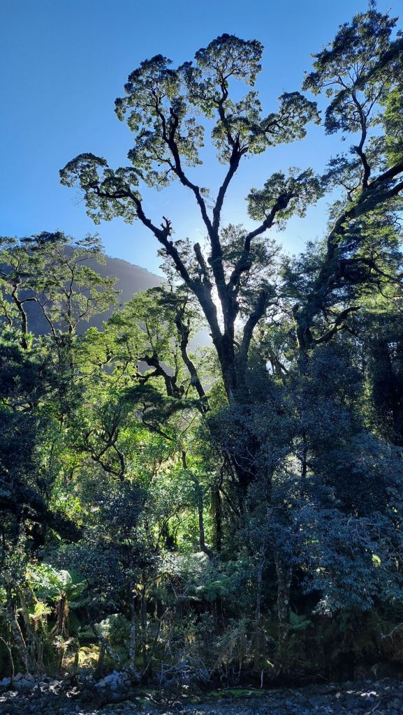
The main trees here are beeches and their leaves are acidic, which prevents many other plants from establishing under them, except where there is enough rainfall to dilute this sufficiently.
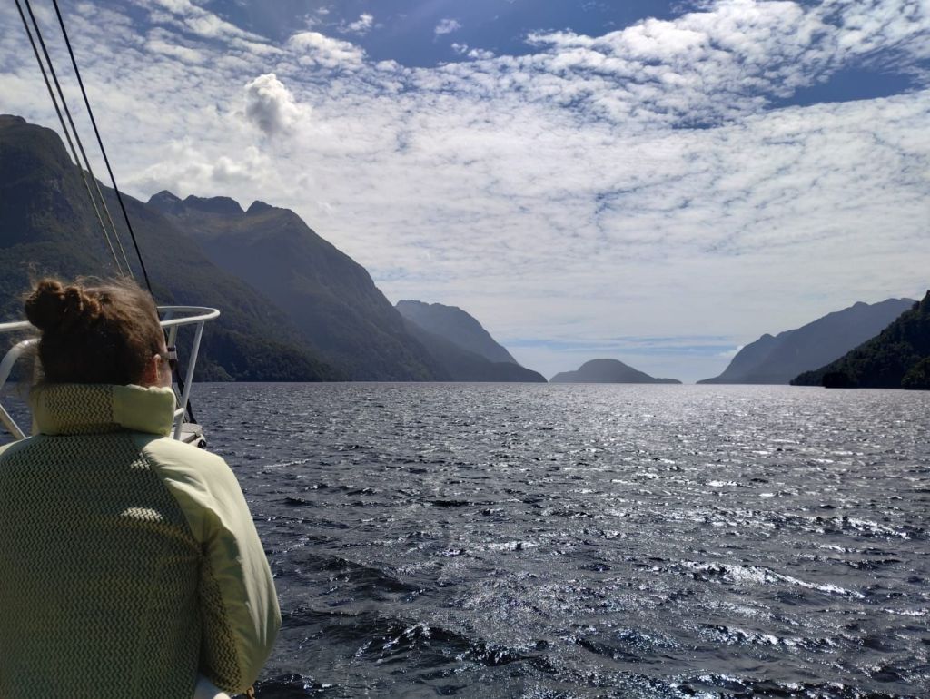
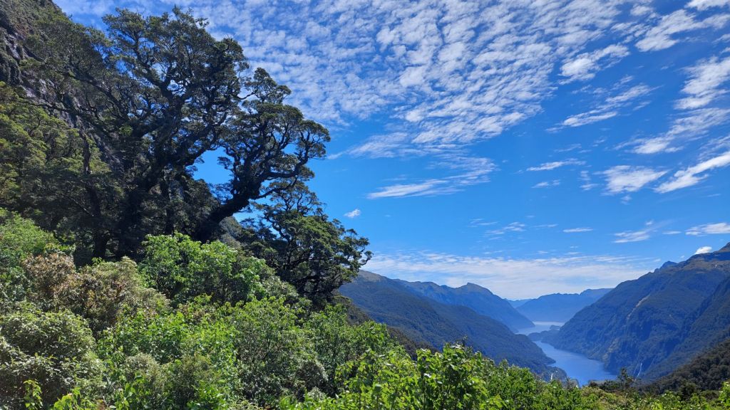
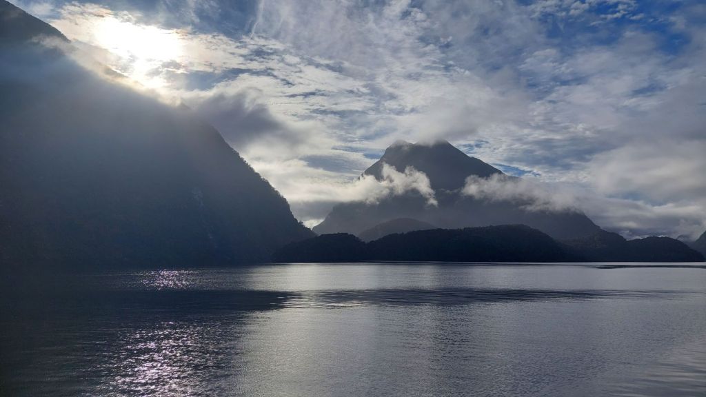
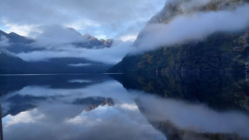
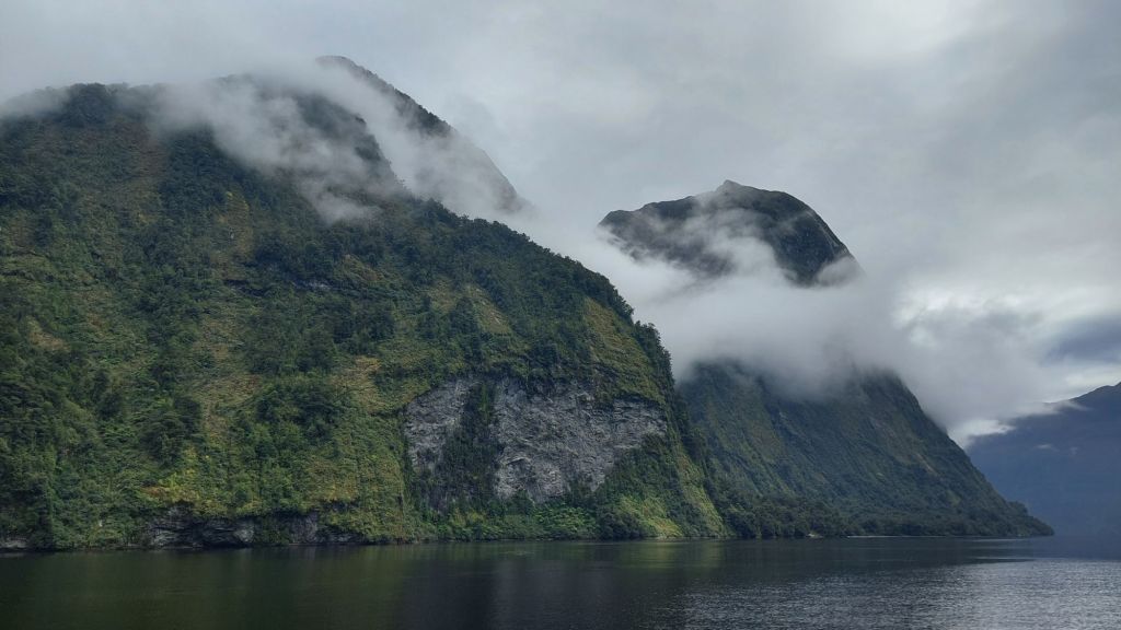
The Fjordland area here gets between 4-8m of annual rainfall depending where you stick the pin on the map.
This dark fresh water sits on top of the salt water in Doubtful Sound creating a distinct halocline that varies with rainfall and is between 3-10m deep.
The tannins in the water prevent light transmission which provides habitat for some rare species (e.g. black corals) which are otherwise only found at much greater depths.
Humpbacks (mum suggests I specify ‘whales’ here, in case you were feeling doubtful, ha!) come in on their migration to rid themselves of parasites that cannot handle fresh water.
A population of bottlenose dolphins lives in the Sound. Whales and seals are really the only endemic mammals. When Gondwana separated, its fauna evolved without land mammals, and birds and insects filled some of the ecological niches that mammals occupy in other parts of the world. Unfortunately, this also meant that the species here had no defense against mammalian predators, so when humans (Maori first, and Europeans and others later) brought mammals with them, the flightless and ground-nesting birds here were easy prey. More on birds another day, but the list of notorious introduced mammals includes:
Rats and mice: (conniving stow-aways)
Rabbits: (brace of coneys, anyone?)
Possums: (don’t you want some nice furs, like the Aussies have?)
Stoats: (to kill the rabbits, but turns out, bird eggs are easier)
Moose: (gifts from Canada, sorry!)
Elk: (gifts from US Roosevelt)
Deer: (venison, anyone? The gentry want to hunt!)
It’s really hard to hit ‘undo’ on introducing a species when it successfully establishes itself. A lot of work is going into trapping and reducing numbers of predators here in Aotearoa me Te Waipounamu. Efforts have been intensified on islands including Pomona Island (NZ’s largest mainland island located in Lake Manapouri), which has been de-mammaled, with ongoing work to maintain this status quo. (That’s right, many of the mentioned mammals can swim).
Pest eradication has also had more adrenalin- filled eras. In the 1970s, there were what are known as the “helicopter wars” with bounties incentivizing hunting and capturing live deer for farming. One of the established strategies involving leaping out of choppers onto a terrified deer. What the heck!?
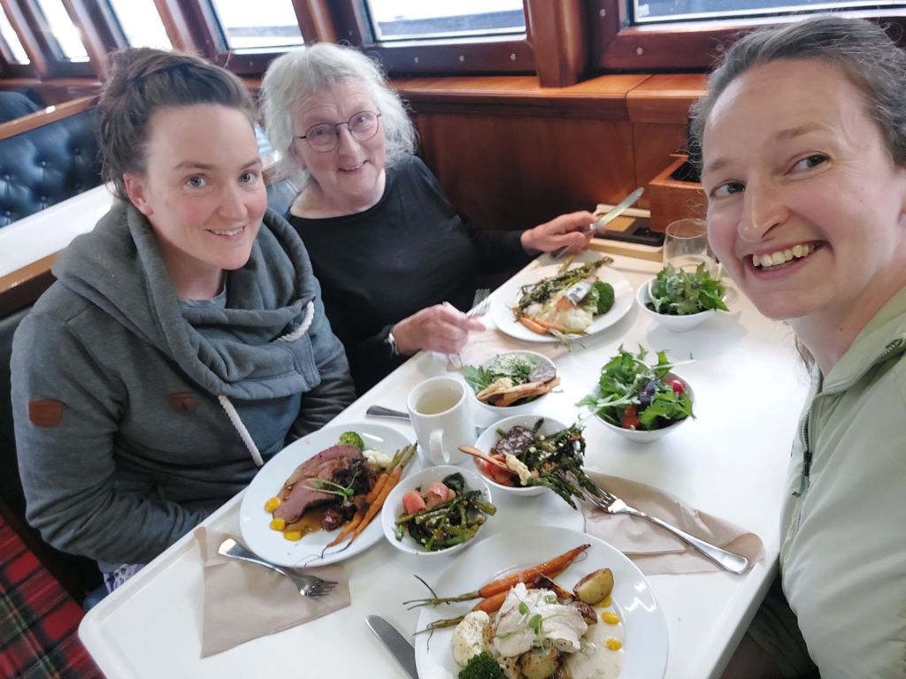
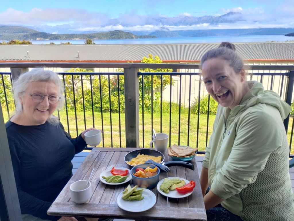
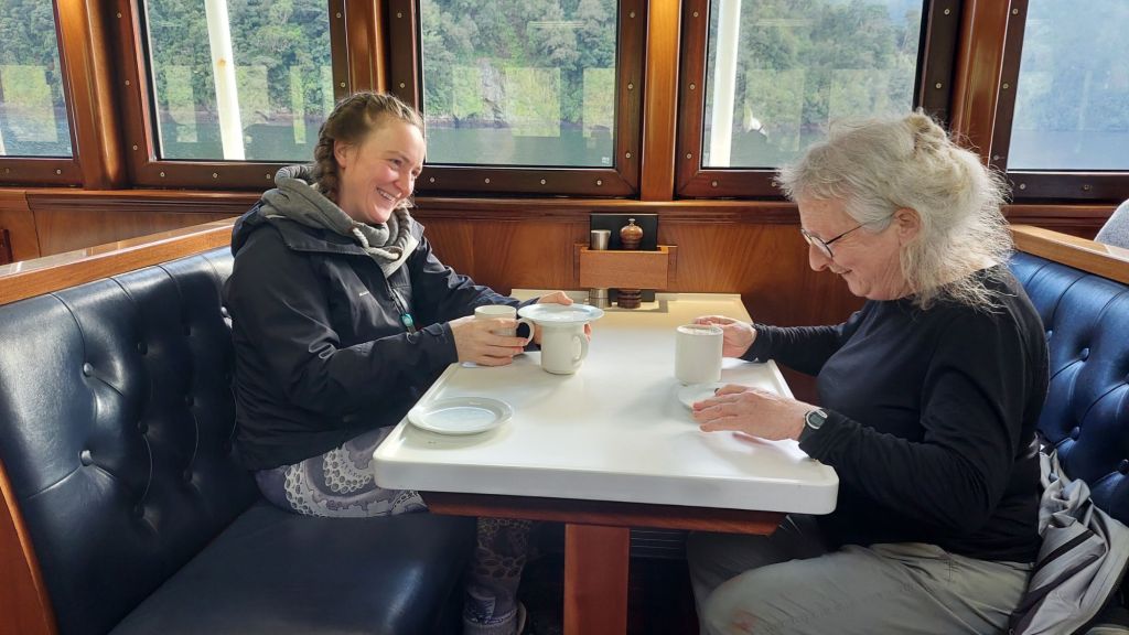
After dinner, we played a game of scrabble. Gabe, the entertaining host, excelled at the kind of chameleon skills I don’t have, and invited himself to our game. He gracefully helped Felicity, who helped me triumph over Scrabblemaster mum.
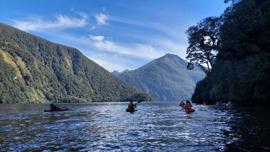
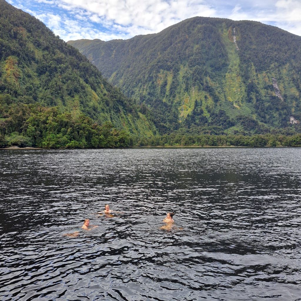
This was a really lovely day, and extra special knowing that 2 out of every 3 days it rains here, so this is pretty rare.
We continued back to Deep Cove past a “Parsons Rock”, so named because a religious guy was dropped off there at low tide, and when the boat returned to pick him up, he appearing to be standing on water.
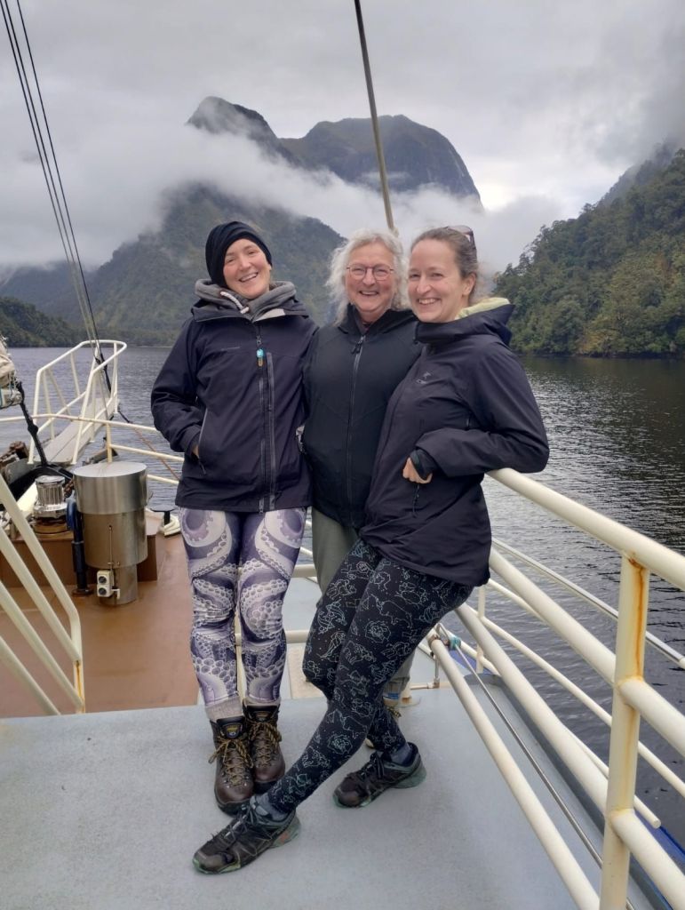
We retraced our journey back to Manapouri, and headed towards Te Anu, where we stocked up on groceries, and then continued on to the Milford Road.
We appreciated my water filter and made it an early night, as the alarms were set for 5am.
Alice
PS.
So how does rainfall here in Fjordland compare to places I know? I went down a rainfall rabbithole:
So here gets 4-8m/y. That’s a lot. For comparison, soggy Prince Rupert gets a measly 2.6m/year, Tofino gets 3.27m/y, and Port Renfrew gets 3.5m/y. But those are sizeable communities. There are some smaller communities like Hartley Bay (140km south of Prince Rupert) which gets 4.5m/y. It’s probably more fair to compare with wilder places in BC such as Haida Gwaii’s Mitchell inlet which gets 6.37m/y and Vancouver Island’s Hucuktlis Lake (Henderson lake), which gets a comparable 6.9-7.3m/y.

Well. Hobbit practices have spread throughout Aotearoa me Te Waipounamu, I see – Second Breakfast, of course! That’s so interesting about the tannins in the beech leaf runoff! And about the rainfall stats…and the whales.
LikeLike