We’re going camping! We stockpiled groceries, sim card, hats, super glue, and a frying pan. What could possibly go wrong?
Well, today was a good reminder of just how wrong things *could* go.
So far this trip, we have missed a flight because security and biosecurity took much longer than we expected.
And then Kate texted us enroute today to check if we were on board the ship, the Navigator. Fortunately our passage on that vessel is not until Monday – it ran aground yesterday evening in Doubtful Sound! The ship called a mayday, and everyone was safely evacuated to Te Anu.
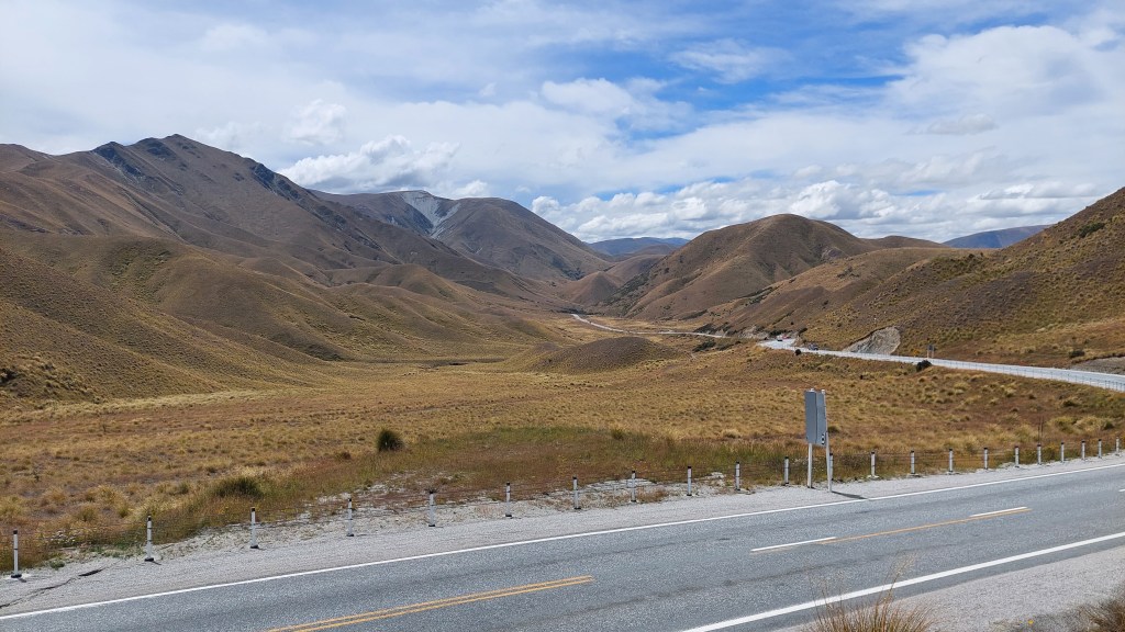
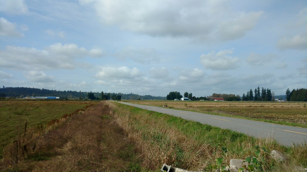
We spent hours and hours today waiting for a car crash to be cleared from our route to Mt Cook. It’s a 4-5h detour to go around, the road was closed since 10:30am, and we were still waiting at 6pm. But delays are only inconvenience, not incapacitation. I’d rather be waiting in a car than be going by helicopter to the nearest hospital (or the morgue for that matter).
So, yes, adapting is better than the alternative. And I do so appreciate being, and being here.
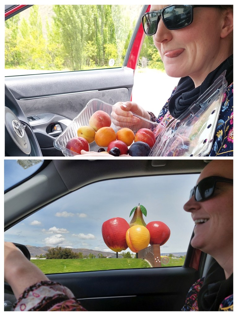
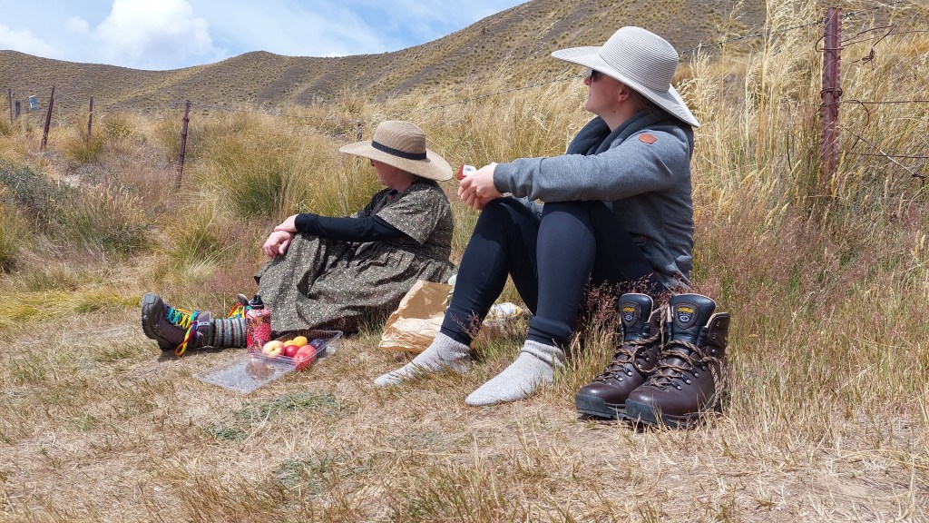
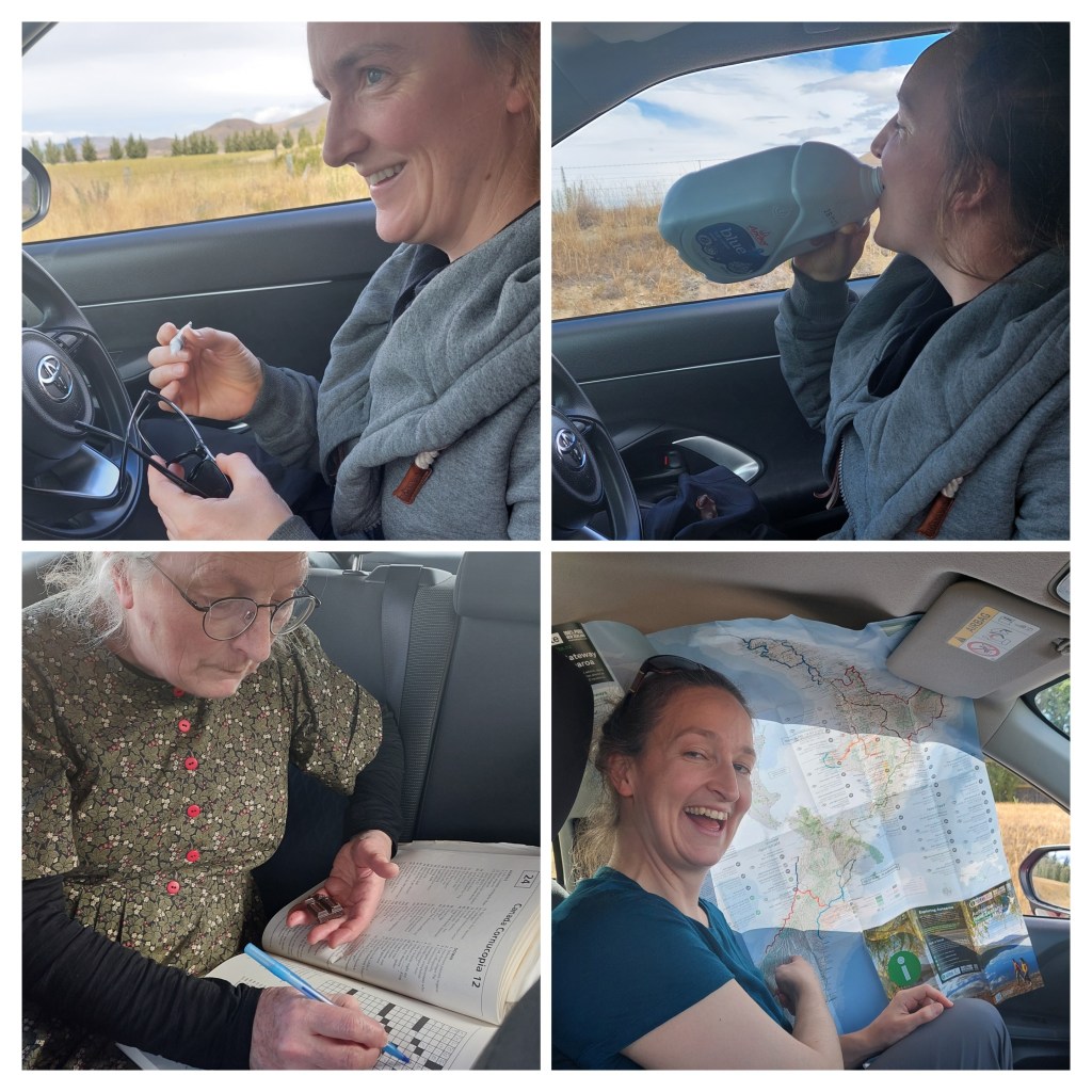
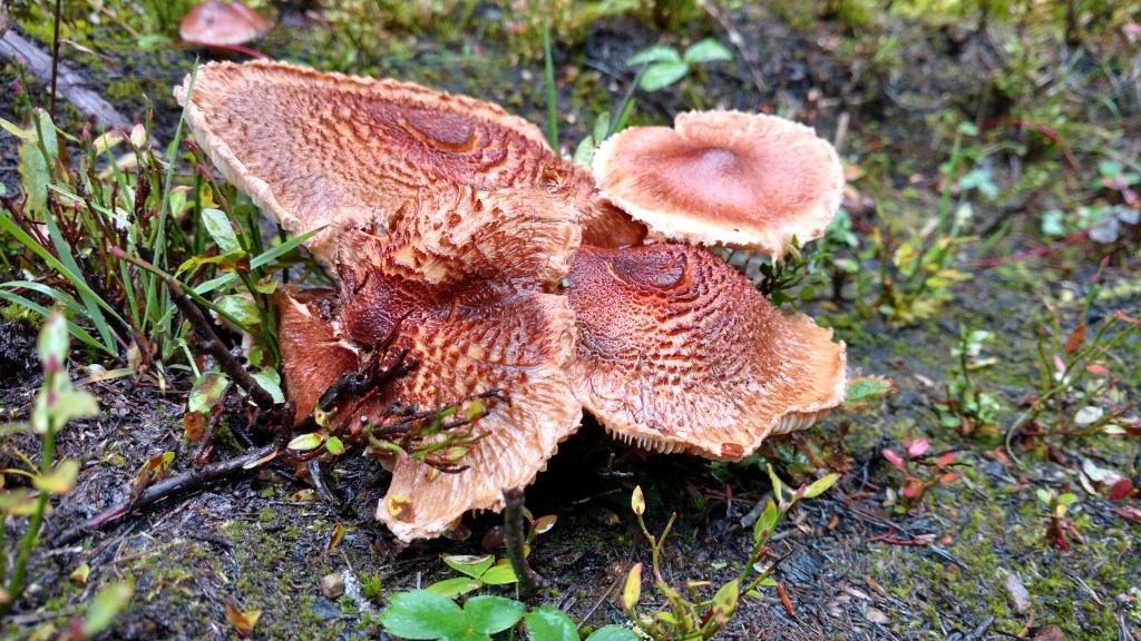
Roadside fruitLindis Pass lunch with the recently purchased hatsRoadtrip, err, rather roadwait entertainment: super glue sunglasses repair, milk consumption, chocolate fueled crossword puzzles, and sun protection
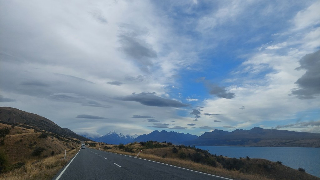
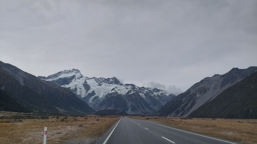
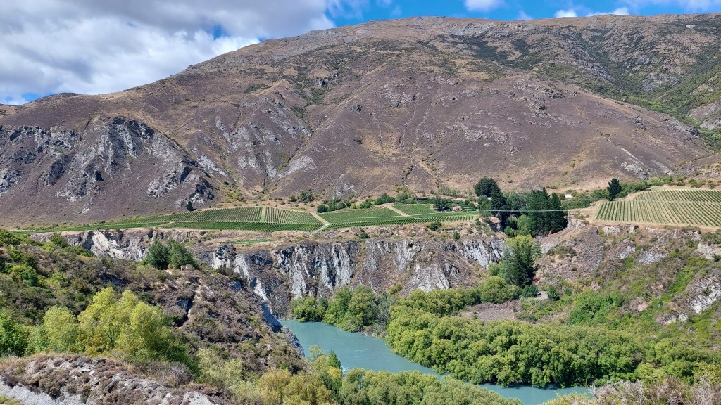
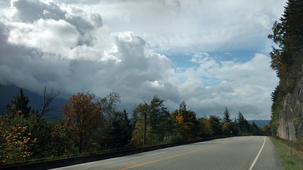
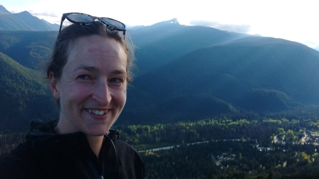
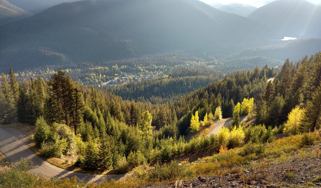
When the road opened, we backtracked from that epic detour, and enjoyed marvelous views of Aoraki (Mt Cook), NZ’s tallest mountain at 3,724m.
The views kept getting better as we drive up alongside the lakeHanging glaciers galore
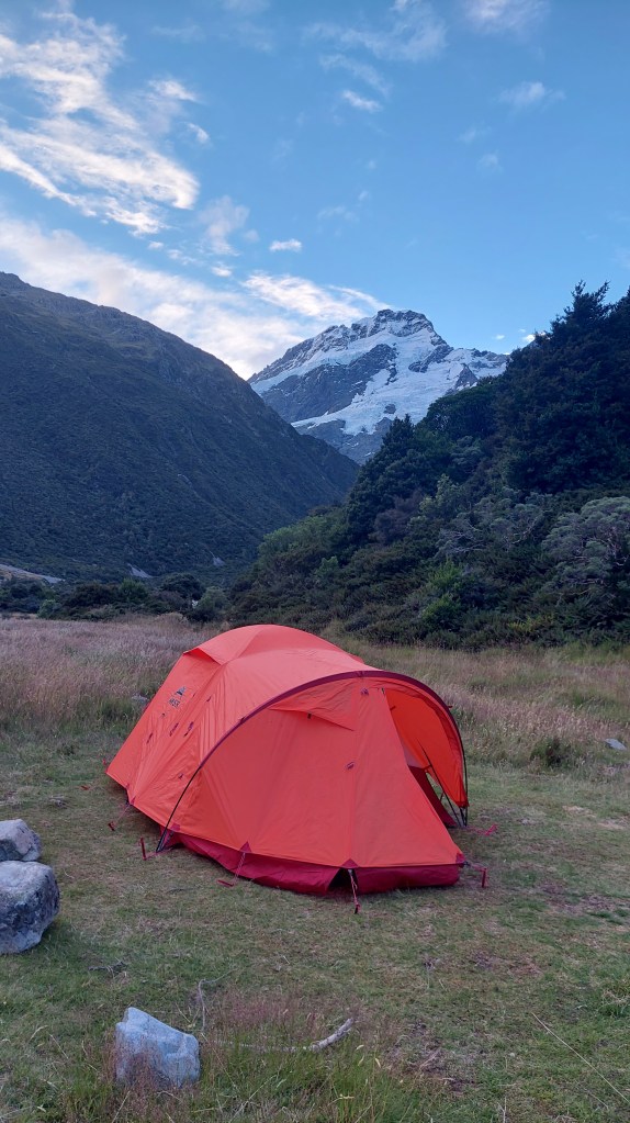
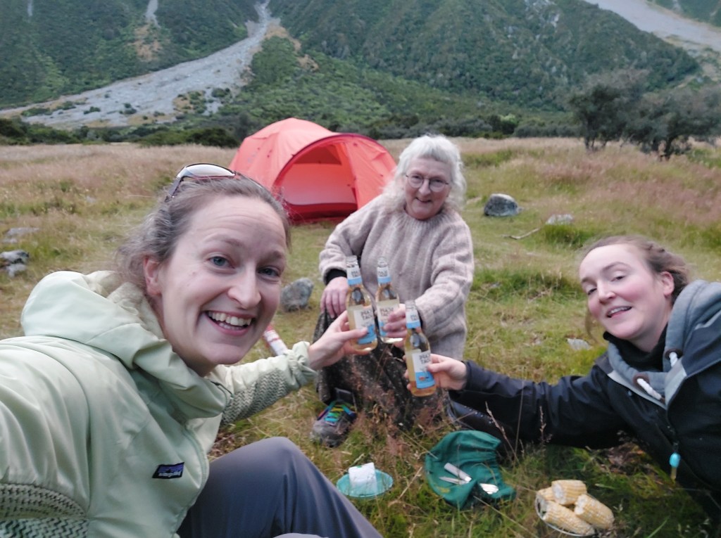
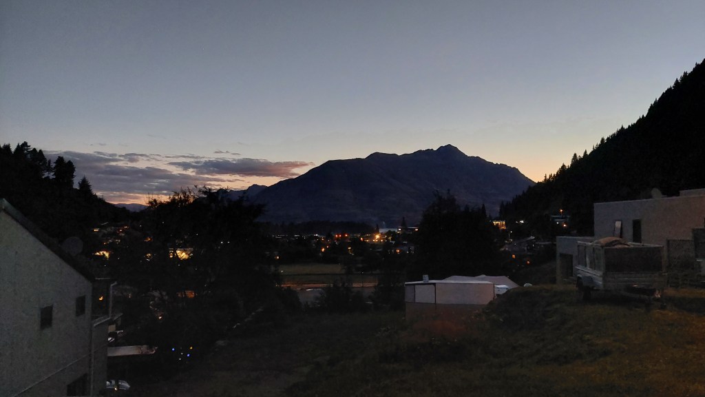
We set up the trusty tent, and had supper while watching snow and ice crash off the hanging glaciers above us.
Much nostalgia about setting up this precious tent – F and I slept in it cycling in Chile, and mun and F used it cycling around Iceland. Cheers!
Our first day as tourists! We cooked up a hearty breakfast and walked into town, stopping to try Life’s a Grind’s lattes and flat whites (I learned that a flat white, a kiwi fave, is essentially just latte with less foam. I’m still unclear on what makes a long black different from an Americano.)
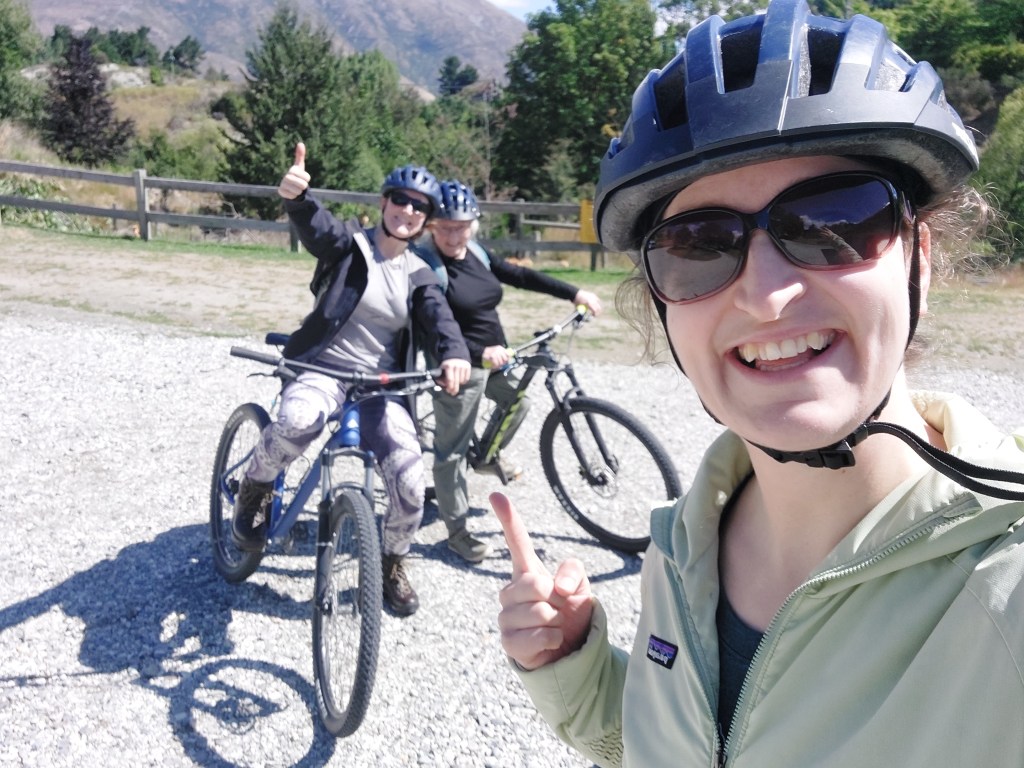
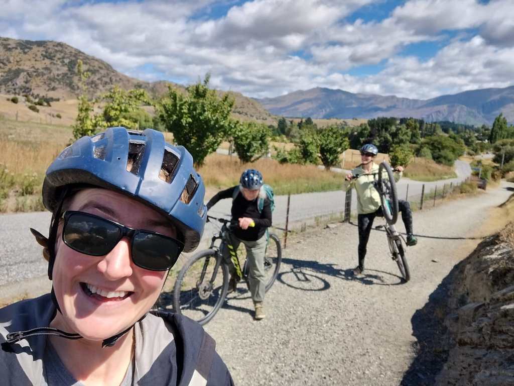
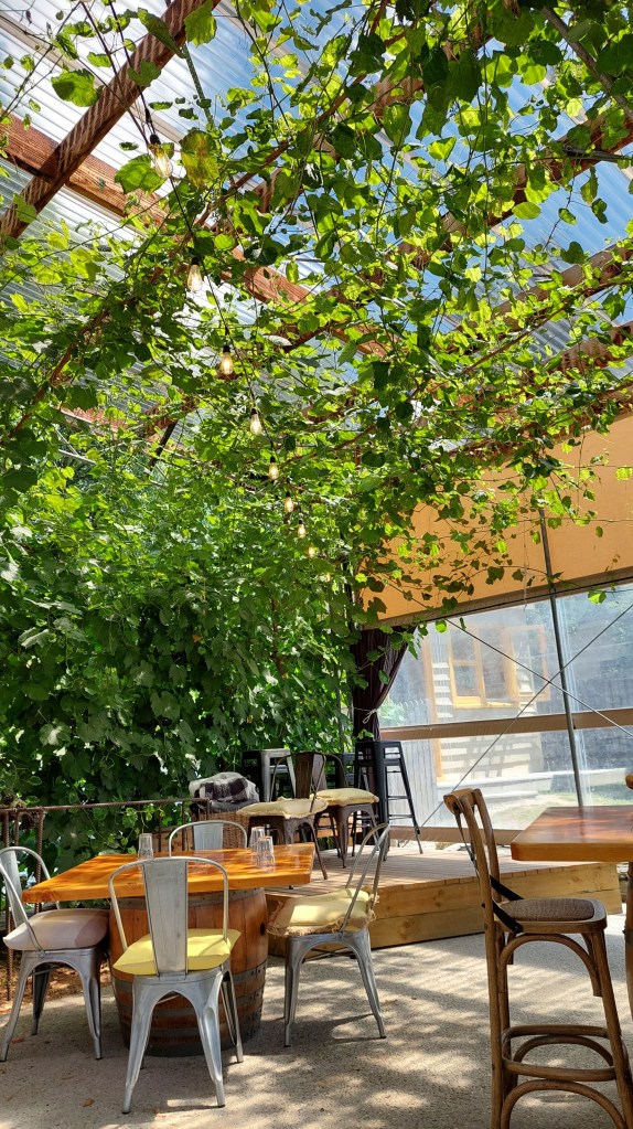
We hopped on our shuttle to meet some rental bicycles and ride through the winery-filled Gibbston Valley.
It was a beautiful drive, and we were the only 3 in the shuttle, so we had plenty of opportunity to pepper the driver with questions.
Apparently, the valley’s pines are being poisoned and taken out (burn piles sold to locals for firewood) because they are an introduced species and nothing grows through the pine needle carpet. This is theoretically going to help replant native trees, buuut also will make room for some billion dollar houses.
It IS a gorgeous area, with the Remarkables dusted in snow to the east and Cornet peak on the west (both good local ski hills according to our driver).
Bikes!
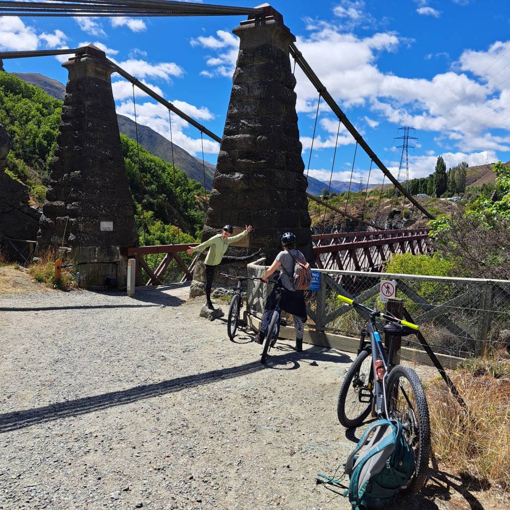
Being on bikes was awesome. Felicity suggested we return the rental car. But I must say, my buns preferred my own bike. So we stuck to the well-signed trail with a generous tailwind.
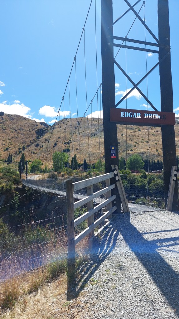
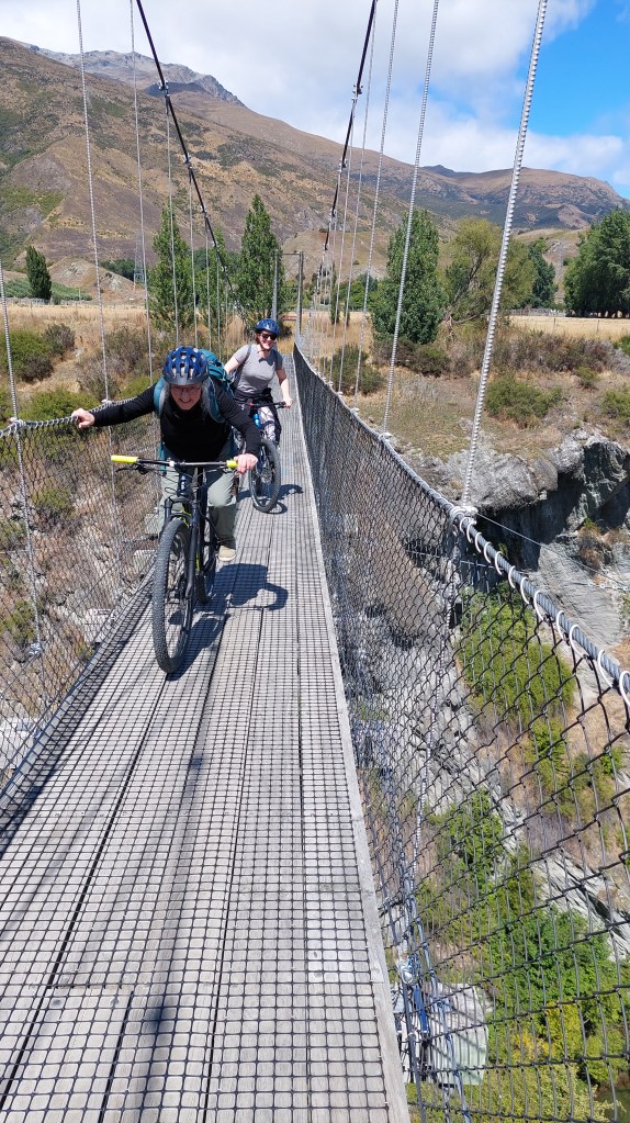
One of several bridgesWho needs shocks when the bridge bounces
It reminds me a bit of the Okanagan with steep hillsides, marching-band-prefect lines of vines, but it is a bit greener. The dead give away that we’re on another continental shelf altogether? Bird song.
Gibbston Valley
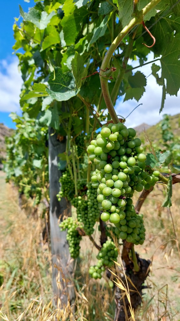
We stopped at ?four wineries. I learned that this valley is mostly schist and loess, (schist is a medium grade metamorphic rock, characterised by wavy lines and it breaks easily; loess is deposits of silt, usually by wind, but also glaciation). This makes for good drainage, good soil depth, and lots of mineral qualities.
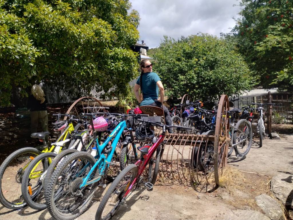
Wilson women with wineSeparate gravel trail where we practiced riding on the leftHay rake rack (say that 5 times fast)
I also guess that this is glacial terrain, where the glacier scooped out a bigger valley, and then a river has carved a gorge into the valley bottom, but I am guessing. The gorge has resulted in some great bridges, and apparently some epic floods as the water’s corse is so narrow, it rises quickly!
A bit early for snackingThe original bungee bridge!
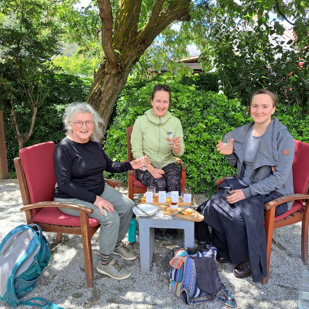
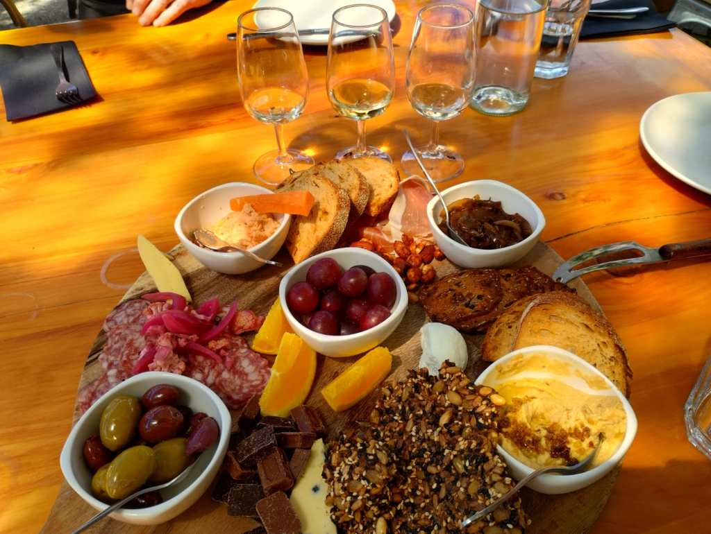
Some of us were tempted by bungee jumping, but we heard that wine is good for jetlag, so we carried on to taste local Pino gris, Sauvignon blanc, Chardonnay, and Pino noir.
Thanks to BillyPagoda ideas for J & C
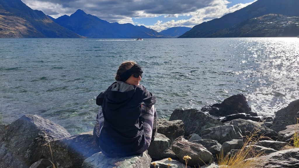
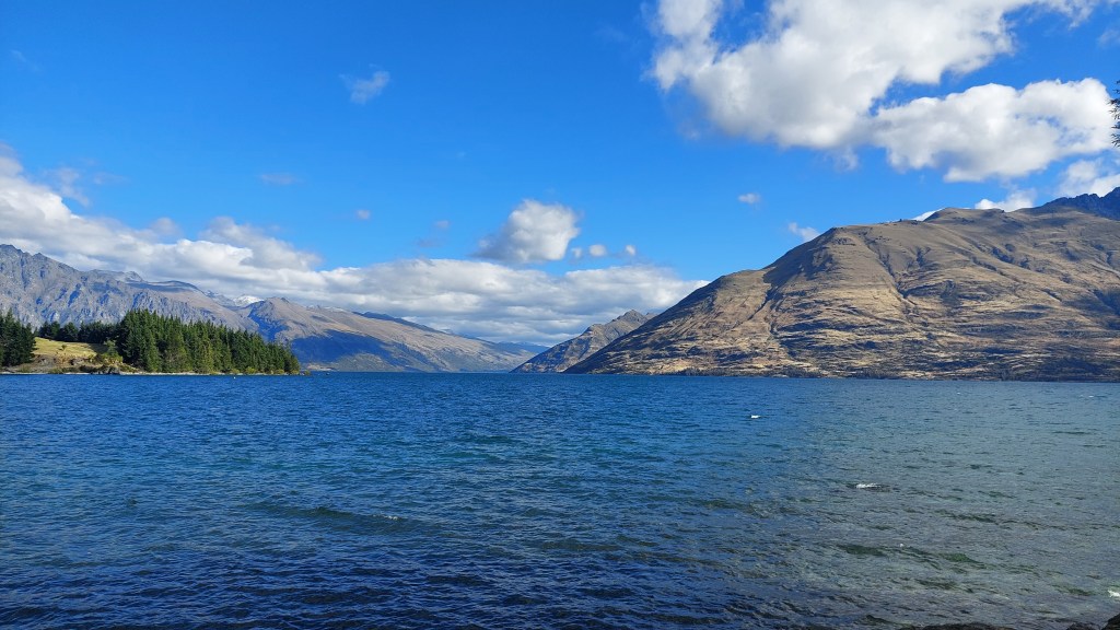
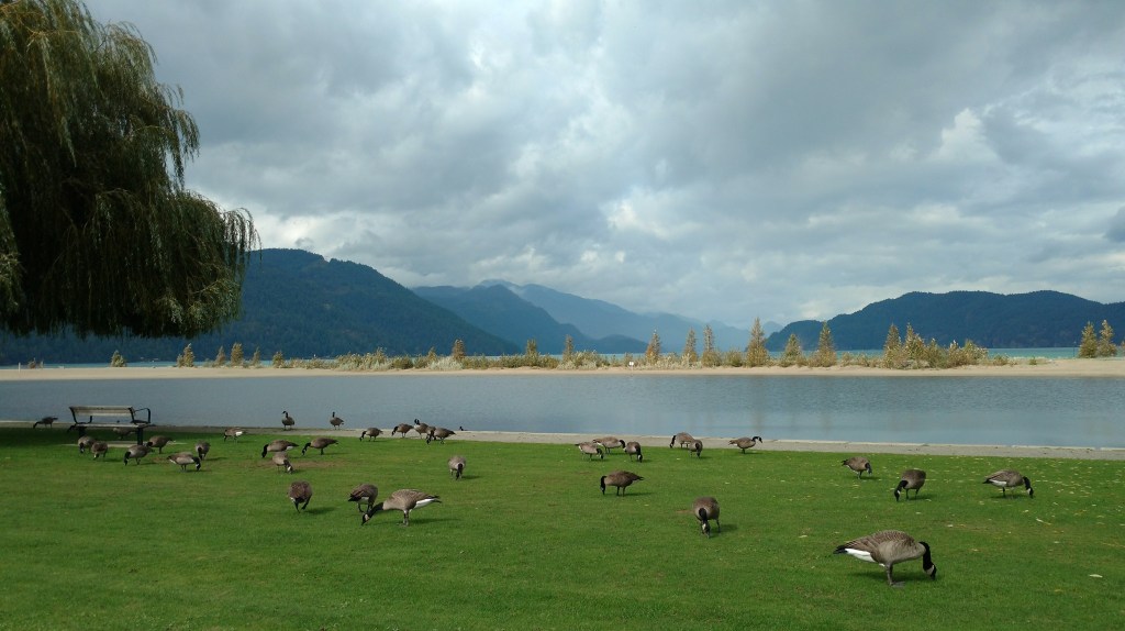
We spent the evening wandering Queenstown’s waterfront, the gardens (many cool trees, plants, and a disc golf course!), and ogling the lake and mountains.
Lots of huge Sequoias in the gardenLake WakatipuThe Remarkables to the leftGarden buddies
Mum tried a new method of getting cash (she attempted to pay for our pub dinner, but the new barkeep mixed up the tables and charged her their bill, buuuut then couldn’t figure out how to manage a return, so refunded that transaction in cash!)
Distance: 42.4km (some cheating involved by taking the 620 bus to get through the Massey tunnel as I was not convinced the Alex Fraser would be open again and the tunnel shuttle schedule did not line up with mine) Ave: 19.5km/h Max: 52.3km/h
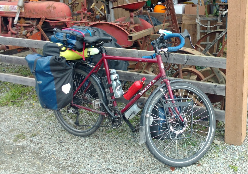
The replacement bolt for my front rack broke, so I came limping home with a pannier strapped to the back and a mess of zap straps on the front. I tried to out-run the clouds, but the clouds won. When cycling through the pouring rain, it is especially nice to know you are going home to a hot bath and dry clothes.
Trip Stats: – Total distance: 1683km (definitely the scenic route – you could go Jasper to Victoria in under 900km if you wanted!) – Highest speed: 77.7km/h (Flying down Glen Valley on route to Fort Langley) – Highest elevation: 2135m (Bow Summit on the Icefield Parkway) – Longest day: 152.7km (Fort Steele to Kootenay Lake) – Slowest loaded day: 14.4km going from Castlegar to Christina Lake on the Culumbia Rail trail, which involved ~1038m elevation gain; close second was my 1774m climb day up to Manning Park at 14.6km/h. – Fastest loaded day: 22.5km/h (Radium Hot Springs to Fort Steele… including a substantial quantity of Kicking Horse coffee) – Flat tires: 0
The biggest downside was the unusual amount of wet weather. Many highlights: riding through epic vistas in the Rockies, swimming in Honeymoon Lake, stunning sunset over Kootenay Lake, mind boggling geological and engineered features (canyons, trestles, dams, hills, tunnels), satisfying fish&chips in Christina Lake, spontaneous boardgames and beer in Nelson, soaking the tired cycling muscles in various hot springs, cozy family and kitten time in Cawston, short hikes to wonderful viewpoints (waterfalls, lakes, valleys, glaciers), and no need for the first aid kit!
It feels like the trip is done already – being back in Vancouver, hanging out with old friends and roomies, walking the old haunts – and although technically there are a few more kms to go, I started my summary reflections.
Things I could have left behind: – water bladder (September isn’t hot enough that I needed the extra water carrying capacity) – a few sets of socks and underwear (inevitably my bike shorts were the laundry limiting factor) – about a week’s worth of dehydrated dinners (in classic Alice fashion, I consistently packed more food than needed) – paper map of BC (I was able to pick up much more useful local maps at info centres along the way) – book (I made it only 50 pages into Lands of Lost Borders by Kate Harris, and the book had been somewhat mutilated by life in the pannier)
Things I forgot/could’ve used/would consider leveling up: – more zap straps – lip balm – small, easy-to-wring-out cloth for wiping off excess moisture, grime, etc. – sturdier front rack system – If riding through more urban centres in warm weather, I’d consider a handlebar mount or a cycling top with secure pockets at the back to make it easier to access phone for navigation (currently unless I’m wearing my coat, this requires stopping and fishing the phone out of a pannier.)
Other gear related observations: – No clothing, no matter how fancy, will keep you dry when you’re climbing hills in the rain. – A reflective vest is worth wearing (I had several drivers comment on how visible I was and very few close passes) – One battery pack was plenty to keep my phone and headphones charged. I never got below 50% charge on the battery pack. – 1GB of data was adequate for my needs. I was overly careful (mobile data off most of the time), and had wifi access every few days. – Two sweaters was a good choice for the time of year. It was cold at higher elevations, especially as it got near the end of the month. I narrowly missed being snowed on (by 2 days) in Manning Park. – Hiking boots would’ve been overkill if I hadn’t recently sprained an ankle. But, several times I appreciated their warmth and waterproofness. – Would recommend due to excellent performance: Ortlieb panniers, marathon tires, surly steel frame, MSR tent, talon sleeping bag, and whisperlite stove, among others.
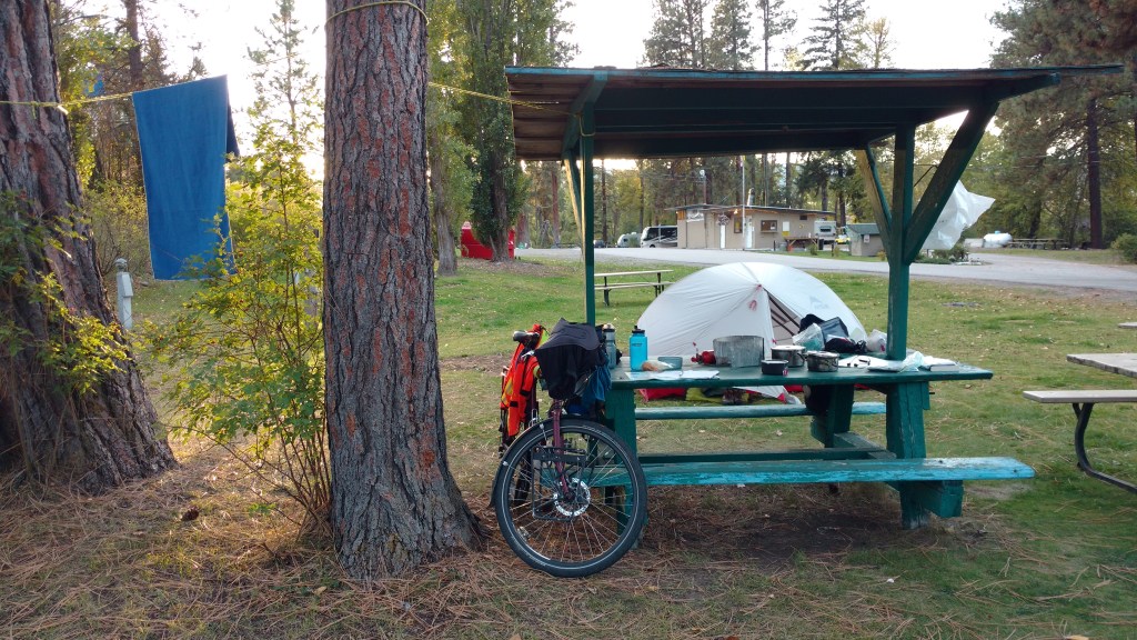
Non-gear observations: – Tenting solo is relatively expensive (somewhat galling to be charged the same as the entire family in the RV next door), but overall cycle touring is still a pretty cheap way to travel (it’s hard to spend too much money when you’re in the saddle most of the day!). – Budget of 50-100km/day and 1 rest day per week for BC riding conditions allows for time for some side trips and exploration. Inevitably, there are always more side trips that are just too far off the route.
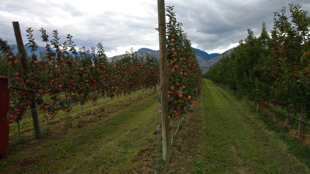
Side trips to go back for: – Jasper: climb some peaks with views, hike/snowshoe and then soak at Miette hot springs, dark sky gazing, lots of options for interesting looking multi-day hikes – Icefield Parkway: more hikes (e.g. Nigel peak, Mistaya Canyon, Bow Summit and Peyto Lake out to the hut, bow glacier falls), guided glacier tour, again multiple options for overnight hikes – Give Kootenay National park another shot when it’s not raining – Fairmont hot springs: check out the hot springs – not sure if you can access the natural ones here; just down the road looks like you can hike up in the Hoodoos – Moyie Lake (provincial park) – Creston: farms, wineries – Rossland: funky town – Lockhart Beach park – Pilot Bay park, lighthouse hike/walk – Crawford Bay cafe, artisans – Nelson: more hangout time, mountain biking, lake time, snow play, good coffee and beer, would be a fun “home base” spot for exploring – Kaslo – Boating on Kootenay Lake – Zipline near Kokanee provincial park – Valhalla provincial park: multi day backcountry hikes or paddles – Cascade falls (one near Christina Lake, another in Mission) – Grand forks (hang out, eateries, wildlife/taxidermy museum) – Osoyoos: go back in sun for wine tasting and beach/lake time – Cawston and Keremeos: return in season with space to take home fruit! – Manning Park: snowshoeing or hiking galore with access to the pool/sauna nearby; if cycling stay at the horse corral instead of lightening lake – Harrison Hot Springs: possibly stay at the resort to check out the private access only pools; boating in Lake (paddle to Sasquatch park on east side of the lake) – Mission: lots of trails through Fraser River park, apparently can walk all the way to the Abbey – Golden Ears park: a few good options for shorter multi-day hikes
Okay, that’s plenty of ideas to be getting on with!
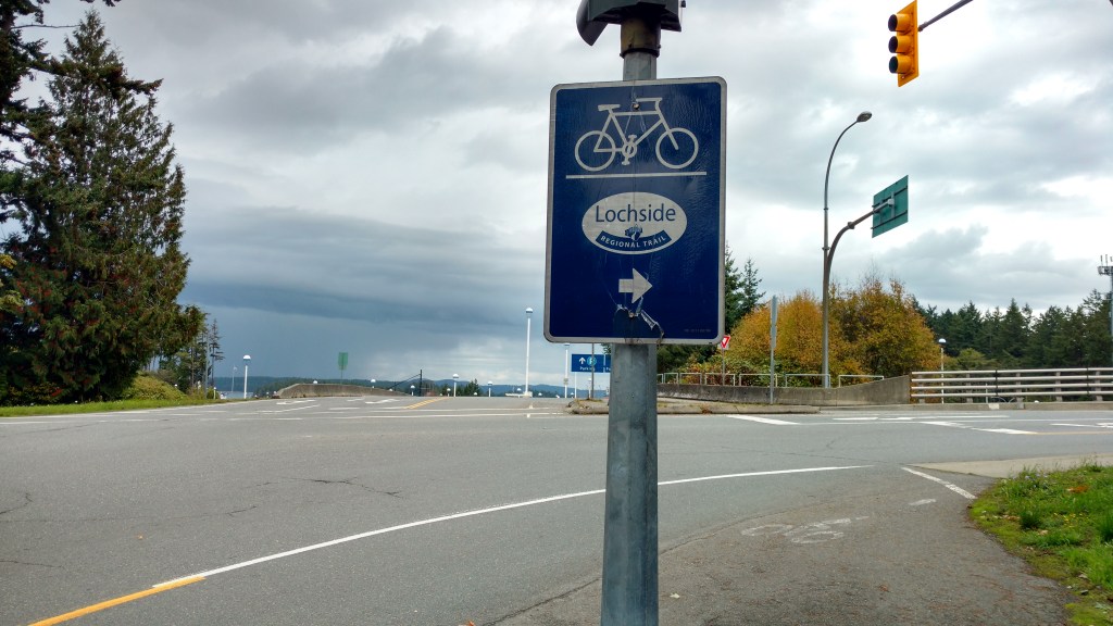
Leaving town I took what is apparently known as the Mission bridge. At least the pedestrian/cycle lane was so full of broken glass it might be better recognized as “broken bottle bridge”. I dodged what I could and trusted to my marathon tires to do the rest.
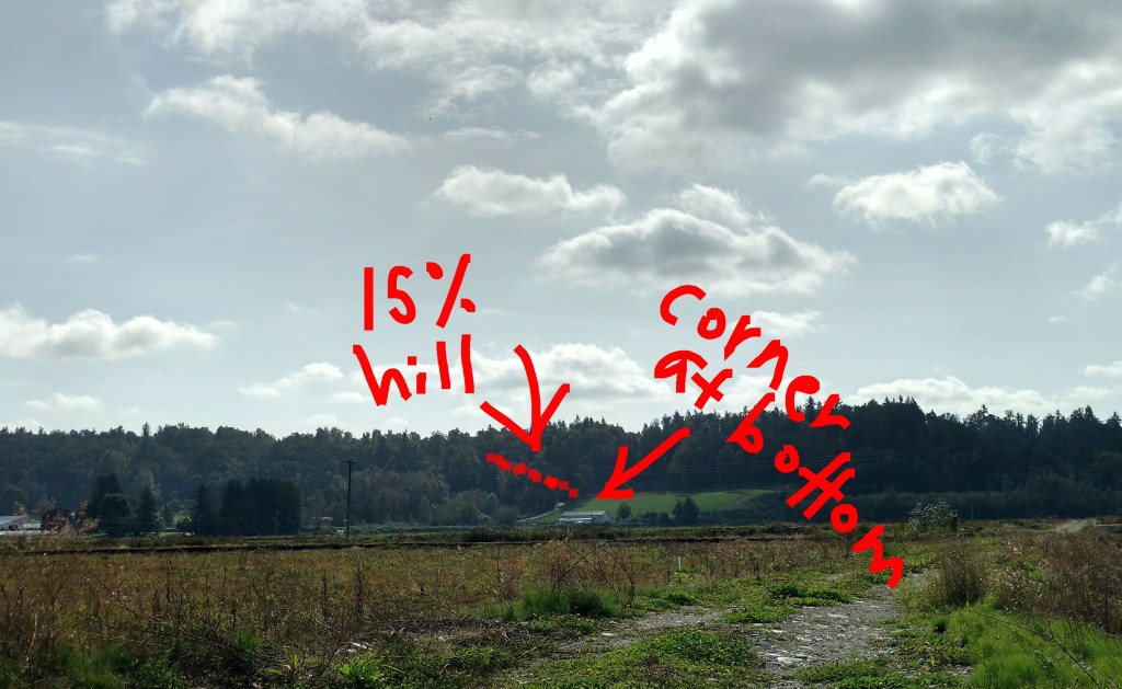
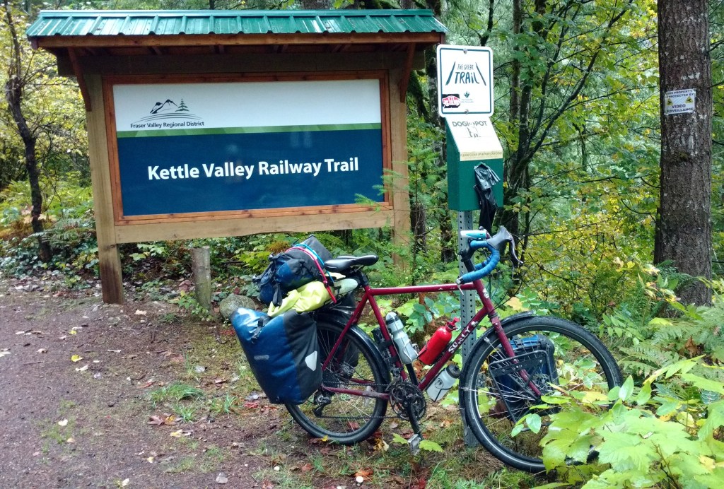
Much of my route this morning was the Trans Canada Trail. (I know, I know, but I had to show the front rack who’s boss, and historically the TCT routes have been better near urban centres). It was slow with some loose crushed rock and frequent stops for wayfinding, but I admit it – the trail is pretty. Initially, it wound along the river, then turned in through forest and farmland, which gave way to more fancy farmland with estate-like dwellings and ornate gate entrances. Eventually, it opened out again to practical looking farmland with fields upon fields of corn and blueberries.
Coming down into Glen Valley, there was one intense (15%!) downhill, on which I flew by some poor (insane?) soul pedaling up, and set a new speed record: 77.7km/h! I had to apply the brakes because of an unfortunately situated corner at the bottom, but the solid steel loaded bike held steady. 77.7km/h!
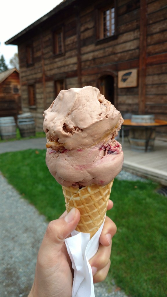
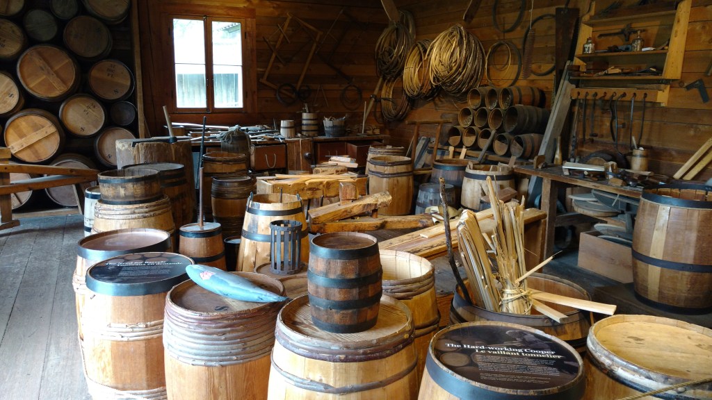
Fort Langley was interesting, but not as good as Fort William in Thunder Bay. The lelem’ cafe did have excellent ice cream, which fortified me for the navigational challenge of negotiating through the lower mainland back to familiar Vancouver.
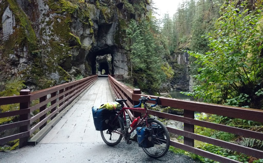
This morning, I took a turn on the Trans Canada Trail and visited the Othello tunnels.
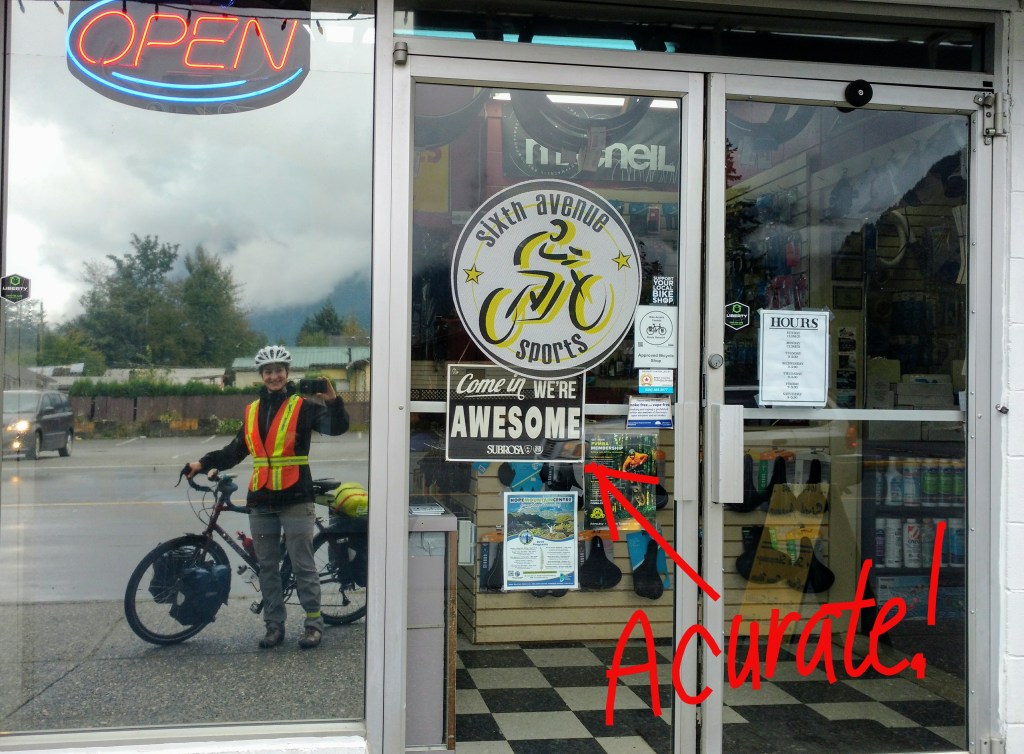
In rebellion for this trip that was not only before 8am, but on The Great Trail AND backtracking, the bolt for my front rack broke. I concocted a temporary zap strap fix, and parked myself outside the bike shop until it opened at 9.
Although busy, Brad of the bike shop lent me tools, helped me remove the broken bolt, found a replacement, and adamantly refused payment. He also stopped the rain and opened a nice blue patch in the sky in the direction I was going. All hail the marvelous Brad!
(I picked the right bank of the Fraser to ride on!)
Today’s ride was mostly flat with the exception of one 11% grade hill. I made some stops around Agassiz for local cheese, coffee, and pastries (lots of pastries!), and rode out to Harrison Hot Springs. It looks like a touristy place, although not on a windy Tuesday in September. The public pool was not overly hot, but pleasant and relaxing nonetheless. I watched a wind surfer on the lake and enjoyed one of the better ice creams of the trip (generous portion of chocolate cheesecake and chocolate praline).
My planned campsite was going to cost another 35$ to sit in line with a bunch of RVs. There was another campground on the map only 20min away, so I went on. That one turned out to be closed. I went on again. I stopped and made myself dinner at a community centre picnic area that had potential as a campsite, but a bunch of folks arrived for an AA meeting, and I opted to carry on again.
It was a lovely night for riding. The road surface was good, the wind had died down, and I felt safely decked out with multiple lights and reflective bits. I ended up riding all the way Mission, where I’ve proved to myself I can now set up my entire rig without use of a light.
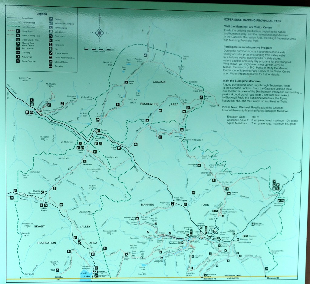
September 23, 2019 Lightning Lake, Manning Park, BC –> Hope, BC
Distance: 84.4km Ave: 19.4km/h Max: 56.6km/h
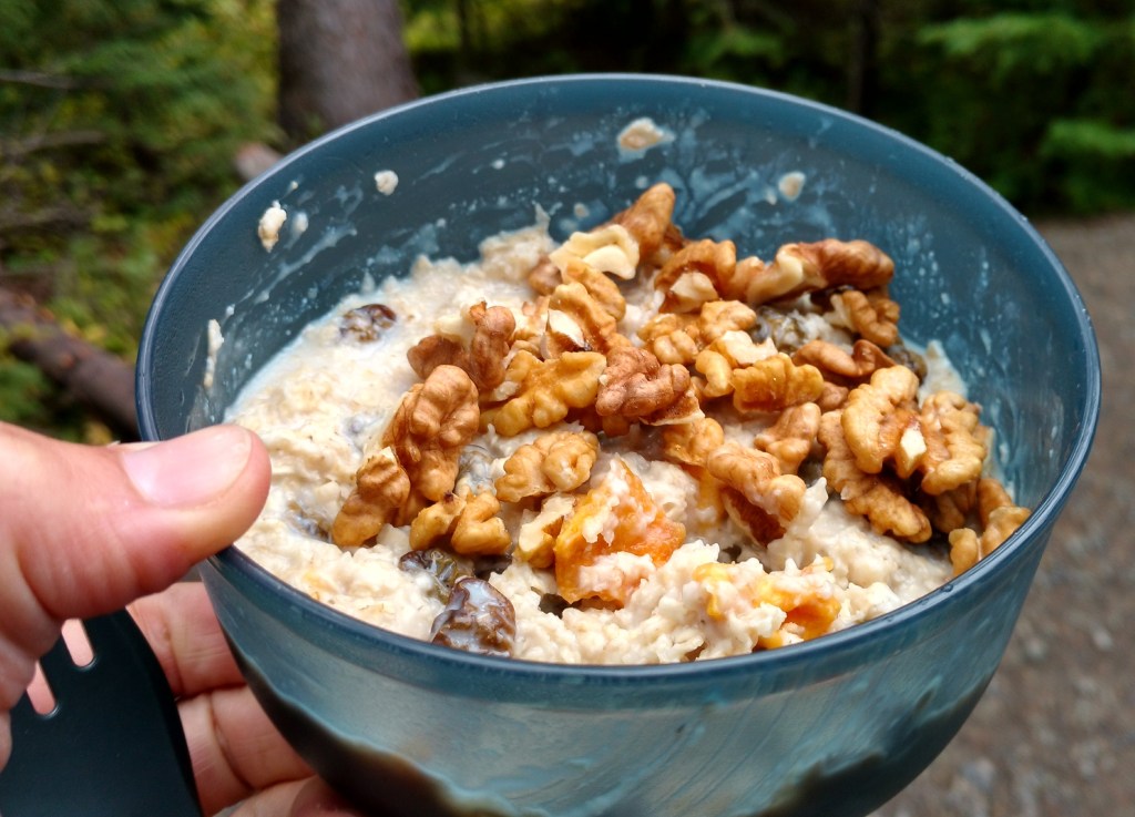
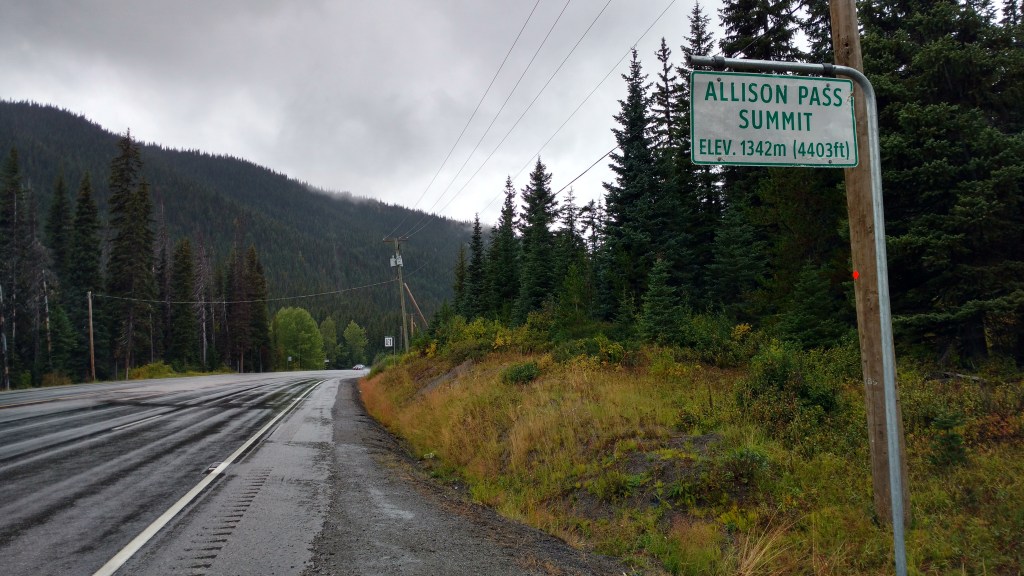
A tasty breakfast with dried peaches and raisins and walnuts from Cawston followed by a detour to lightning Lake. Any ideas I’d had of renting a boat for an hour were squashed flat. Not only had it started to rain again, but the wind was getting gusty, and the rental outfit looked solidly closed. Making a mental note to return to Manning Park again to explore further, I carried on to Allison Pass.
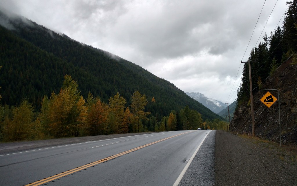
Very happy to be cycling west… Going east, the climb up to Allison Pass looks arduous, with little respite and a narrow, poorly surfaced shoulder to boot.
Pedaling down some hills to fight the wind, I’ve made it to my favourite hide out in Hope and treated myself to a Blue Moose coffee. All that remains is to decide where to shore up for the night.
Decisions, decisions.
Alice
PS. The light at end of the tunnel… is just a pannier reflecting your way.
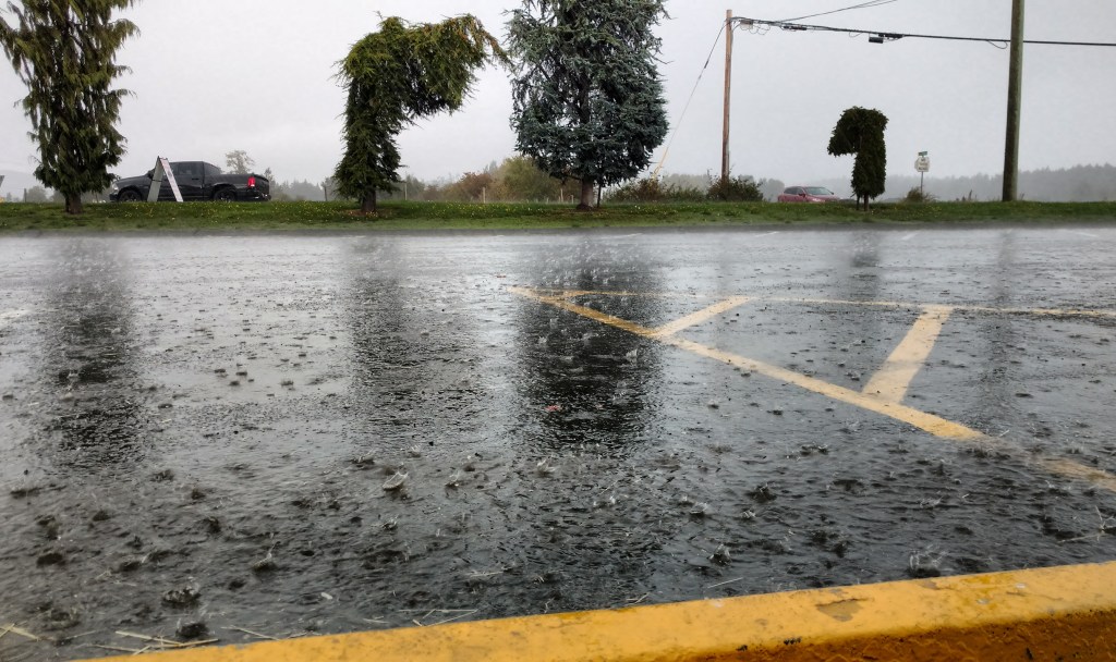
Light rain most of the day as promised. I slept in, and then stayed in my cozy sleeping bag listening to the rain until my bladder insisted on the necessity of getting up.
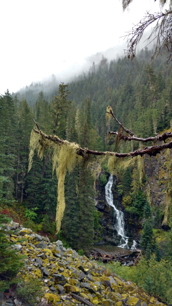
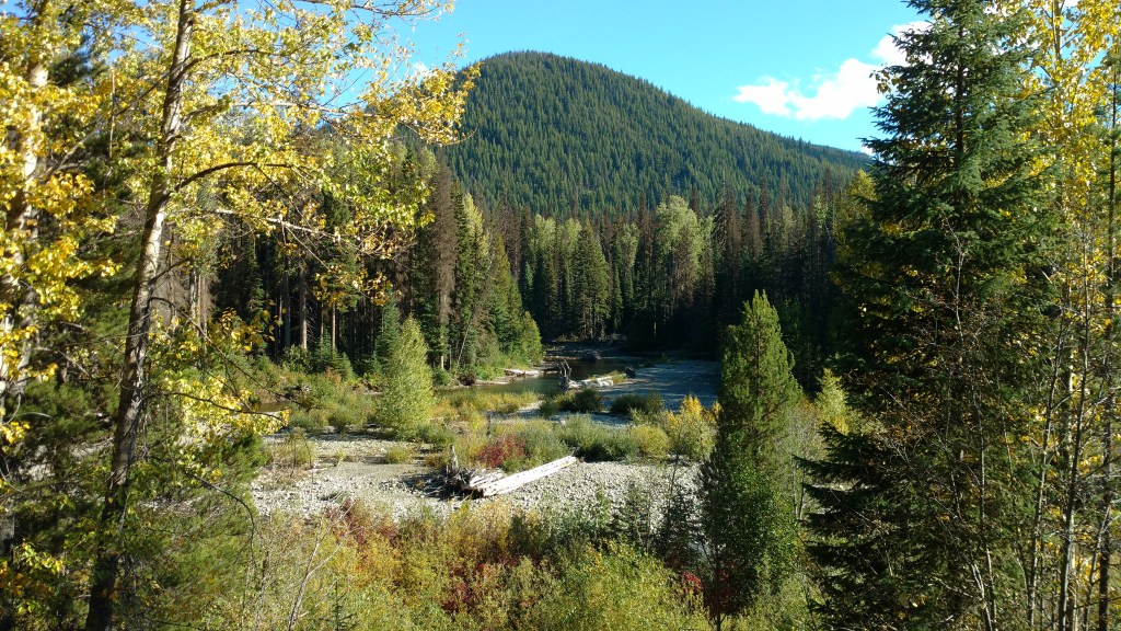
Because visibility would suck, I opted for a moderate 9+7km hike to see three waterfalls. It was lovely out despite the water falling from the sky, but my legs were slow, almost like they were used yesterday or something…
The rain stopped and I even saw a few shadows. After an early dinner, I rode down to the lodge to use the pool/hot tub/sauna. Riding back in the dark, the side lamps of my headlamp cast the silhouettes of my handlebars giving the illusion of an elephant escort on each side. I’ve just crawled into the tent and it started raining again. Perfect timing!
September 21, 2019 Princeton, BC –> Lightning Lake, Manning Park, BC
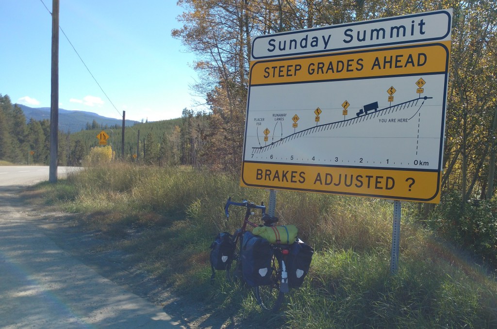
Distance: 94.2km Ave: 14.6km/h Max: 68.5km/h (flying down from Sunday Summit)
It was cool last night – I guess summer is technically over now, and I’ll be wanting to put more layers on at night. I cycled into town for breakfast, which turned into second breakfast and breakfast ice cream as well (I swear the portions were puny!). I picked up maps for Manning Park and a few groceries (I am still very well supplied with dehydrated meals and should probably start eating them for breakfast and lunch).
The climb was solid, but beautiful and interspersed with some descents, as well as lunch and second lunch breaks. Today’s Summit was Sunday Summit, which is one of two in the park (Allison Pass I’ll climb on my way out of the park). Flying down from Sunday, I set a new trip high speed.
Today, I was flagged by two solo men in their 60s – one was previously an avid touring cyclist himself and wanted to indulge in some nostalgic discussion, and the other (who was almost unable to get out words other than prepositions in his anxiety) wanted help because he was running out of gas and was confused about where he was. I showed him a map of the area, pointed out approximately where we were, and described the elevation profile of the road ahead. I assured him getting lost on the way to Hope would be nearly impossible, but also acknowledged the futility of asking a cyclist where the next gas station is, and suggested that if his gas situation became dire, he might want to flag a passing motorist! I saw him again a few kms later filling up at the last gas station before the park, so I hope things became more coherent for him.
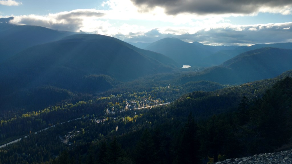
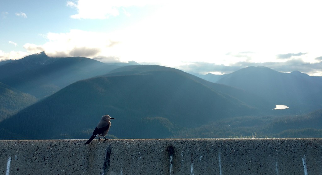
It was a gorgeous blue sky day, and I am very happy to have cycled this leg in good weather. The forecast for tomorrow is light rain all day, and the following day mainly showers. With that in mind, although I plan to explore on foot tomorrow, I knew that if I wanted to get any views of the park, it’d have to be today. So, after climbing >1000m already, I took the 8km detour up to the Cascade lookout. I became that kind of crazy cyclist you see cycling up to the Mt Seymour trailhead, only fully loaded with gear. It took the better part of an hour (without stopping) to climb up, and <15min to fly down (riding the brakes and pausing to take photos).
Needless to say, the last 5km up to lightning Lake campground afterwards were not the easiest.
I looked up the elevation gain up to Cascade lookout and it’s just shy of 500m… which makes for a total of 1760m of climbing today!
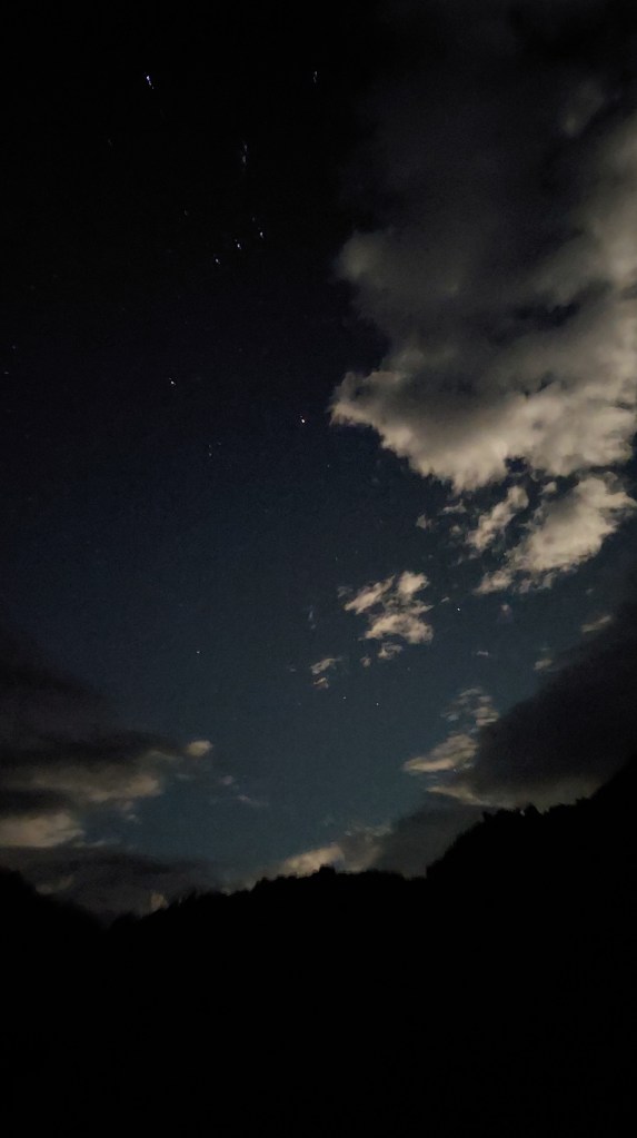
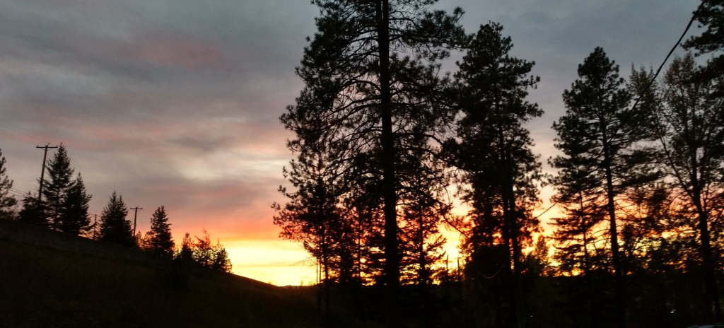
The stars are beautiful tonight – the milky way is clearly visible and all sorts of unknown constellations are bracketed by the silhouette of trees. I ogled until my neck got sore, then crawled into the tent. Tonight I’m adding leggings and a hoodie to my usual flannel anod wool pj attire.
I got going slowly to avoid a morning sprinkle, and continued more slowly than expected fighting a headwind coming down the valley. But it was a short day, and although I made several stops for coffee, ice cream, pakoras, and fresh fruit, I still made it in plenty of time to relax at the Princeton municipal campground. The showers here are excellent, and I guess I’ll be the only one who uses them! As usual, everyone else is staying in a motorhome.
I waste more and sort my refuse less while on the road. Some due to lack of compost/recycling facilities, some due to increased candy bar/granola bar/mini-cheese consumption, and some due to the “to go” industry where 6 paper napkins, a bag, and single use cutlery/containers come standard. Apparently, the BC government is interested in our opinions about single use plastics (or rather interested until the end of the month when the survey closes!). If you haven’t already, the form to express your sentiments is here: https://feedback.engage.gov.bc.ca/129976?lang=en
I look forward warily to a big climb (>1200m) tomorrow to get up into Manning Park.