Darlington, Maria Island -> Port Arthur
Distance cycled: 112.2 km
Ave: 16.9 km/h
Max speed: 63.3 km/h
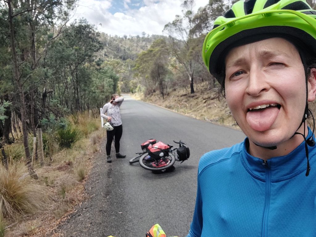
Starting riding after 10am isn’t really a good strategy for putting in over 100km in a day, but it was the best we could do because the first ferry off Maria island landed at 10am.
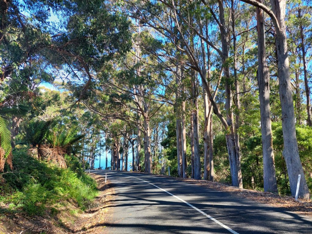
At the 7km mark, we stopped for coffee (surprisingly good from a post office!) and croissants (not quite so good), and then steady on. Navigation points were helpfully in ~15-30km increments, so looking at the elevation profile for each section as we went along was entirely unintimidating.
A again: Our route (which I had looked at on street view to minimize unpaved bits) did have an unpaved section for 15-30km, but it was hard pack with little traffic and only a small stretch of energy was wasted on super twisty downhill.
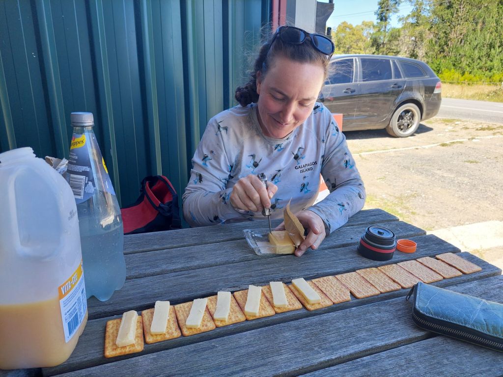
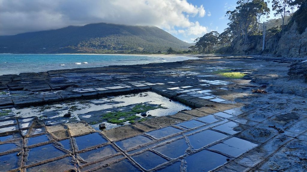
Somehow the long lunch didn’t bog us down too much – we were in such good shape with time that F let me take us on the scenic route via tessellated pavements (ok, since F’s phone battery had mysteriously run itself mostly out of juice the previous night, she was really at my navigational mercy!)
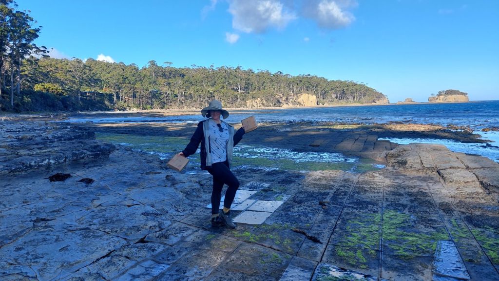
The tessellated pavements are 265+ million-year-old siltstone, which fractured due to stressors on the crust along 3 directions: NNE, ENE, and NNW. The fracture lines are weak points. “Loaves” form near the sea edge where the rock remains wet most of the time; sand and other particulate in the water erode the fracture lines more. “Pans” form further from the sea edge where the water evaporates more quickly on the surfaces, leaving salt crystal development to expand and preferentially erode the surface, leaving the fracture lines as “rims”.
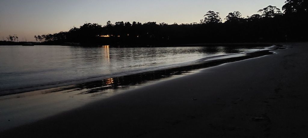
We arrived in Port Arthur with a full hour in hand before dark.
Jessi set up our tent for us while we enjoyed the excellent showers.
Alice
