4 days and 3 nights on the Tongariro northern circuit (45km without detours)
This is one of New Zealand’s Great Walks – “premier tracks that pass through diverse and spectacular scenery”. This one is also a UNESCO site.
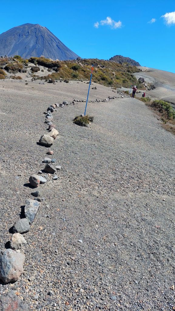
Despite this, the track did not feel overburdened by hiking traffic – except for the section of the route which overlaps with the ‘Tongariro crossing’ day hike, which is one of the most heavily trafficked hiking routes in the country. The infrastructure all along was impressive.
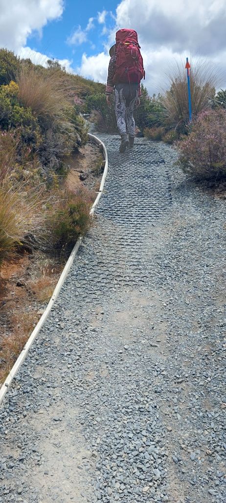
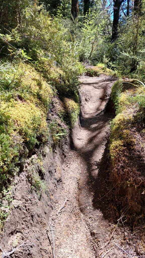
There were also stairs and boardwalks in many sections. At the campsites and huts (which must be booked in advance), there were rangers who checked to make sure everyone had arrived okay and gave a brief talk about upcoming conditions, etc.
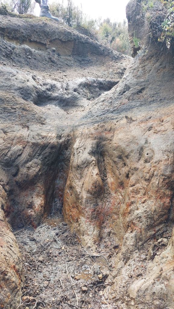
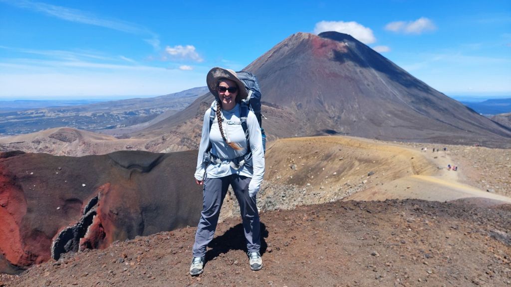
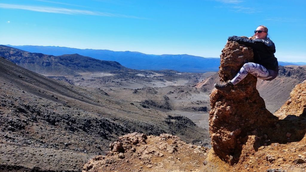
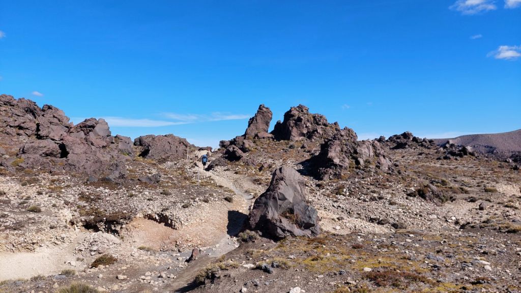
Most of the time, we were in the alpine with no trees, walking on old spewage from one of the 6 volcanoes.

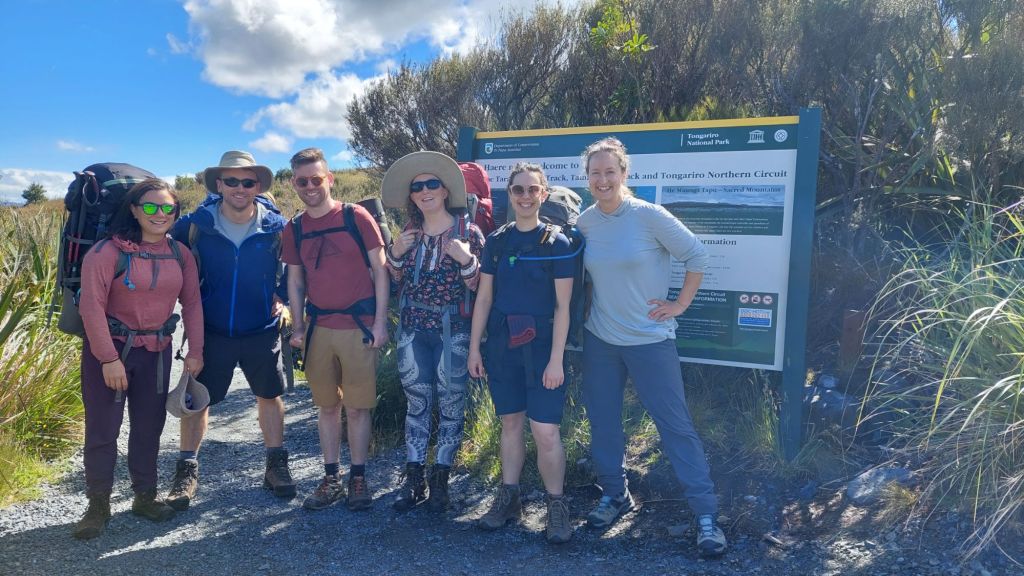
Then we sorted out the last details of our gear at the Whakapapa trailhead and headed out with our tramping bags.
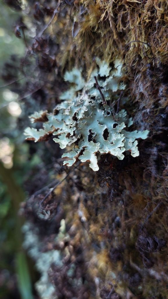
We were introduced to vegetable sheep; they are not for eating.
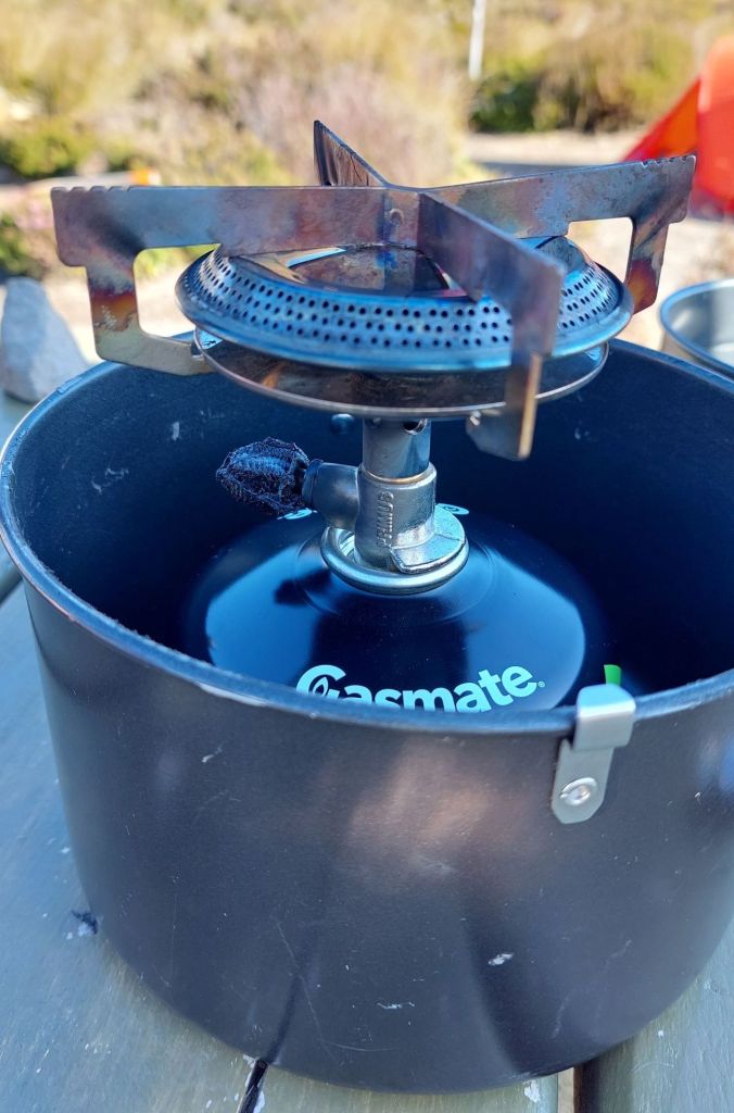
Lessons: a) always keep a Leatherman within reach, and b) canister stoves really don’t want to be insulated.
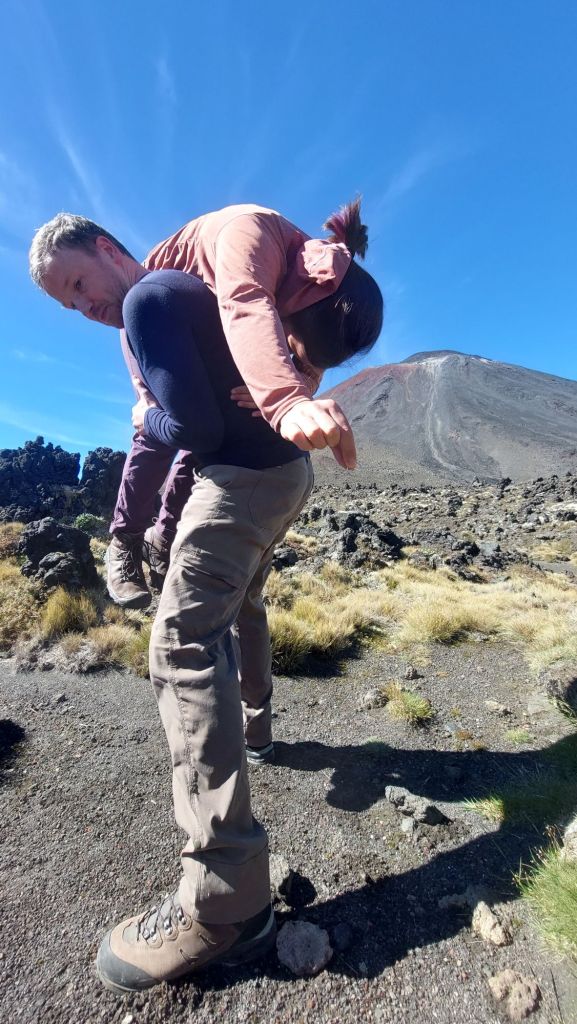
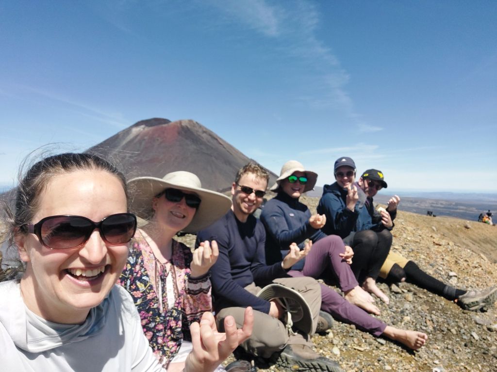
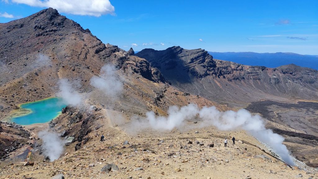
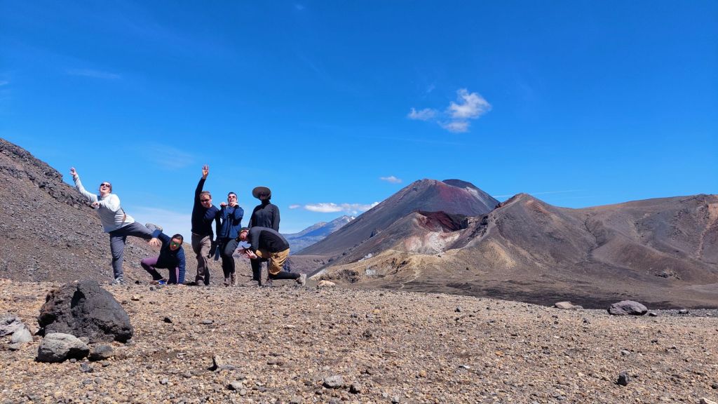
Our second day was a big one, and overlapped with ALL THE PEOPLE doing the Tongariro crossing day hike. Although nose to tail is not my favourite way to hike, it provided plenty of people watching opportunities. And really, I can’t blame the hordes – it was an incredible section of landscape to hike through on an absolutely perfect conditions day.
I played ‘guess the landforms’:
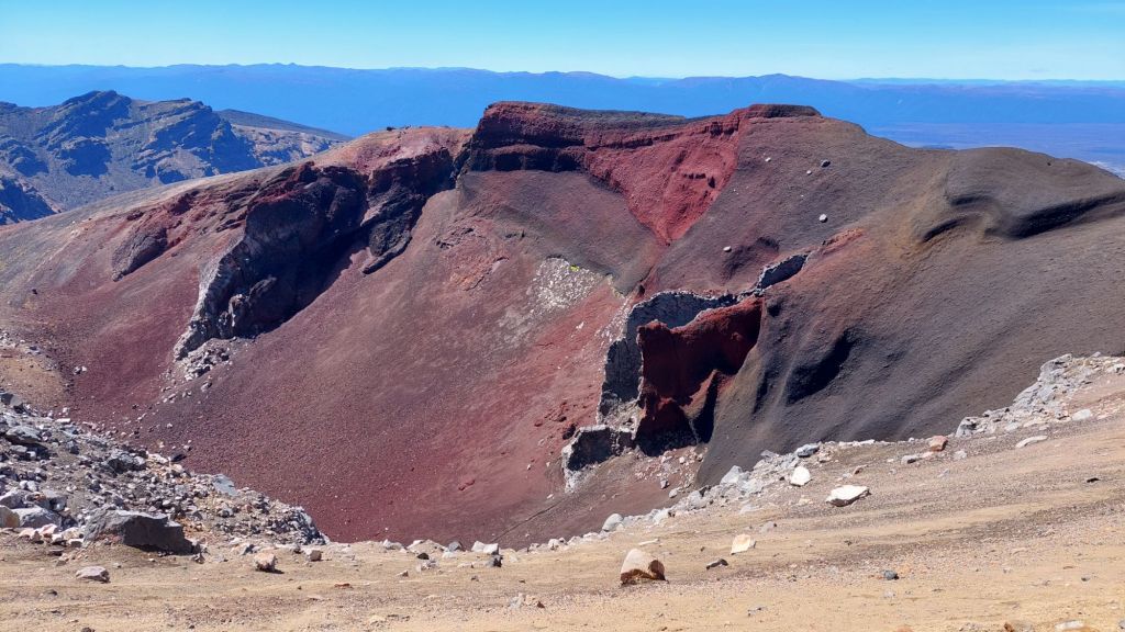
Is it a volcanic crater or is it a glacial carved cirque (bowl)?
Are we walking on old pyroclastic flow (high-speed avalanches of ash, pumice, and rock) or lava flow (slower molten rock)?

Flis, in desperation for a bit of privacy, almost peed on one. Or as they say in limerick:
I needed a place to pee
But everyone on the trail could see
On the volcanic ground
So much rebound
Made a splashguard out of me!
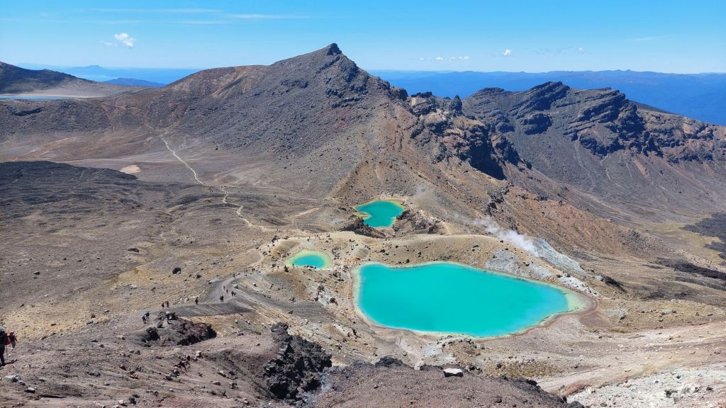
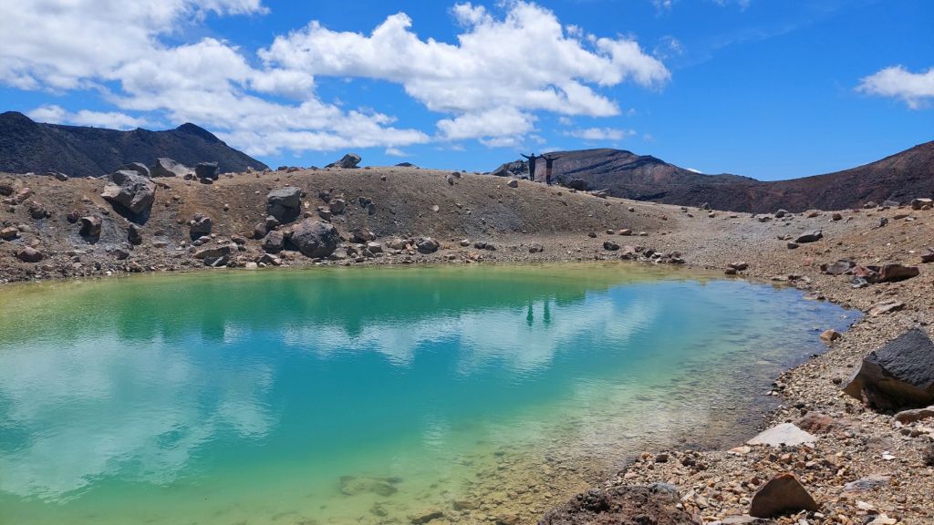
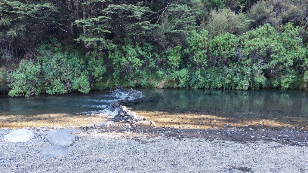
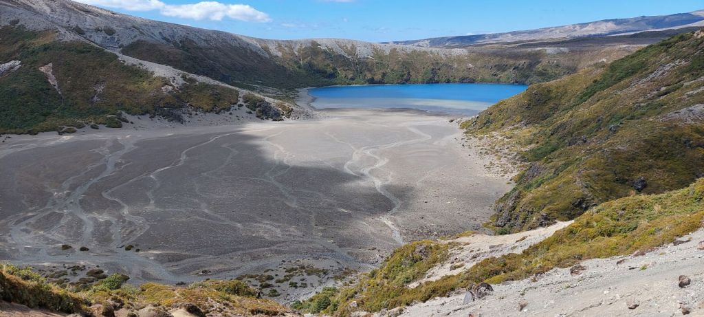
Despite this, there were a few birds swimming in the lake.
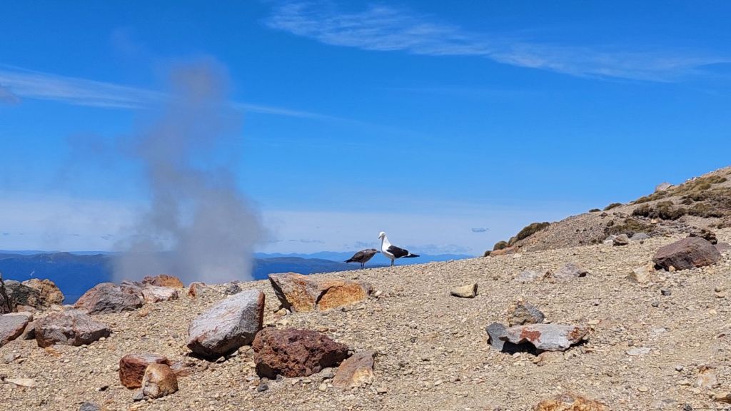
Looking it up after, “Most of the birds have to look for food elsewhere, as not many insects or aquatic organisms can tolerate the acidic conditions of the lake. Even the birds’ feet become corroded by the acidic water.”
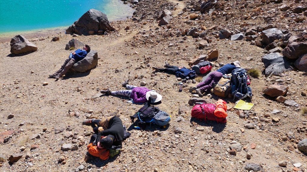
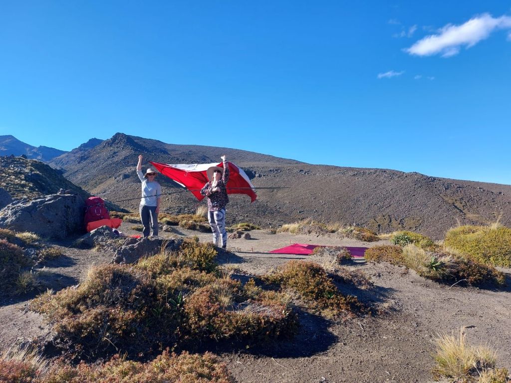
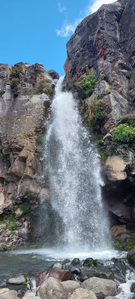
And set up in one of the best tent sites at Oturere with waterfall views.
I spent a ridiculous portion of the day working on the word puzzle “rock___ ; ___plant”. The first word is the front half of a hyphenated word, and the second word is the second half of a hyphenated word. The solution is the shared middle word – e.g. for “star___ ; ___fuck”, the answer is ‘cluster’.
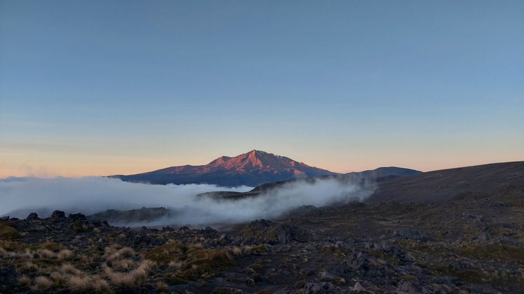
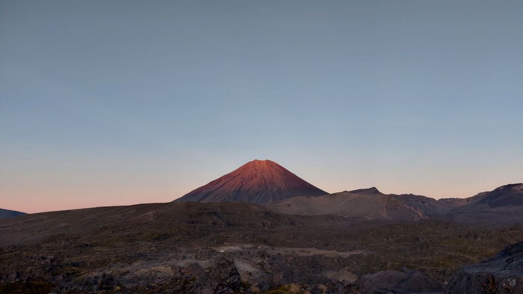
Every night this trip, the star gazing has been incredible. We were so lucky with the weather. I still don’t understand why I was usually the only one gazing!
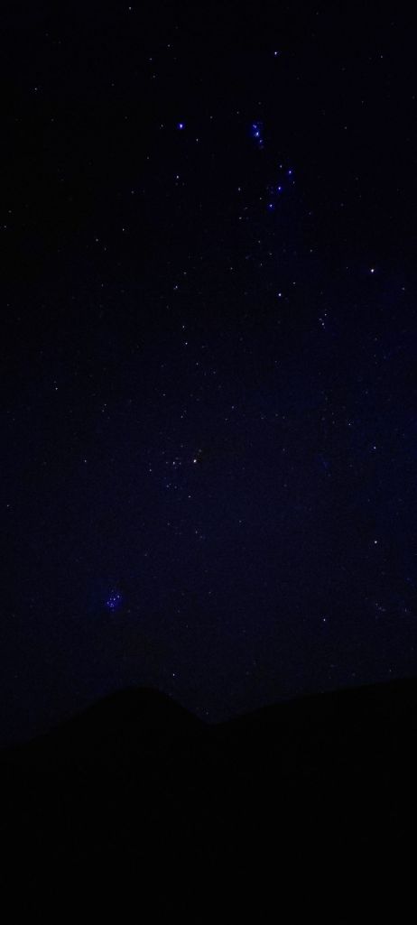
The start of the Māori New Year is a public holiday in NZ now (June 28, 2024 will be the 3rd year). The new year is signified by the Matariki cluster of stars reappearing in this night sky, with a few exceptions: In parts of fjordland, Matariki is never visible due to its place near the horizon, so alternate stars are referenced instead.
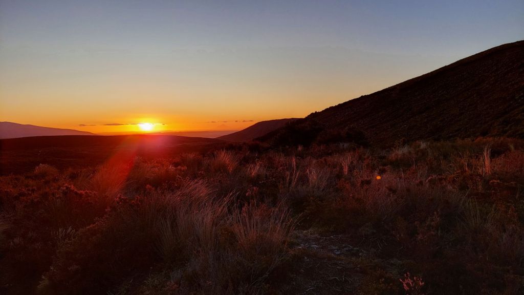
On our last day, we watched sun rise on Mount Doom from another direction, and tramped the long, but not challenging trail around and out to where we started at Whakapapa village.
Alice
PS. Solutions for the word puzzle: ‘face’

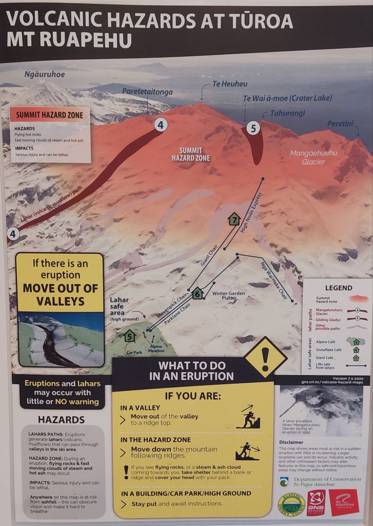
Thanks for the amazing recount, and I am glad there were no eruptions while you were there, but also that there were instructions… The Park seems very organised! I would have star-gazed with you!
LikeLike